Polaris 19800304T072509 Parent Directory

Open page with static plots
Start timeEnd timeLast Latitude
& Longitude
Current
(1hr avg)
1980/03/04 07:25:21 GMT
1980/03/03 23:25:21 local
2022/07/20 05:50:41 GMT
2022/07/19 22:50:41 local
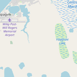
71.32727983271008
-156.67999216655195
-0.0 Amp
Downloads:
shore.nc
shore.mat
shore.kml
shore.kmz
shore.asc
shore.dir
shore.csv
shore.log
argos_24hr.kml
argos_week.kml, argos_month.kml
Elapsed time since start: 397387:42 Elapsed time since last valid data: 25917:17
MarkerMarkerMarker
Leaflet © OpenStreetMap contributors
Options for all plots below with a time axis:


Created with Highstock 6.1.3time (UTC)Depth (m)Vertical Plane19851990199520002005201020152020-5-4-3-2-101ZoomAll1h3h6h12h1d3d1wFromMar 4, 1980ToJul 20, 2022Highcharts.com
Created with Highstock 6.1.3time (UTC)time_fix (s)latitude_fix (arcdeg)longitude_fix (arcdeg)Other20000500M1 000M1 500M2 000M4050607080-175-150-125-100-75-50ZoomAll1h3h6h12h1d3d1wFromMar 4, 1980ToJul 20, 2022Highcharts.com
Created with Highstock 6.1.3longitude (arcdeg)latitude (arcdeg)Navigation-150-140-130-120-110-100-90-80-704045505560657075Highcharts.com
Created with Highstock 6.1.3time (UTC)acoustic_contact_range (m)acoustic_contact_range07:300.230.240.250.260.270.280.290.30.31ZoomAll1h3h6h12h1d3d1wFromMar 4, 1980ToMar 4, 1980Highcharts.com
Created with Highstock 6.1.3time (UTC)battery_charge (Ah)battery_charge07:56:21.506278.617767ZoomAll1h3h6h12h1d3d1wFromMar 4, 1980ToMar 4, 1980Highcharts.com