Parent Directory
Parent Directory
Parent Directory
| Start time | End time | Last Latitude & Longitude |
Current (1hr avg) |
|---|---|---|---|
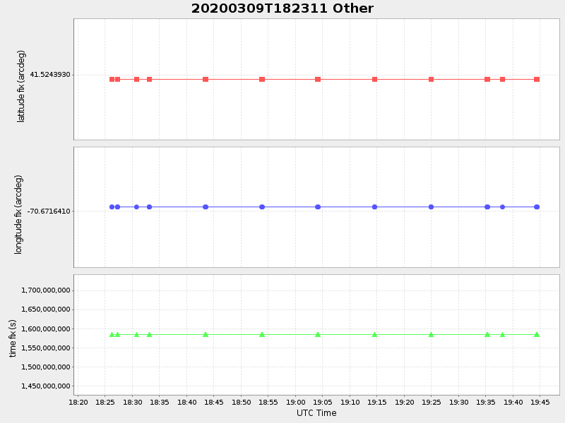
| 2020/03/09 18:23:22 GMT 2020/03/09 11:23:22 local |
2020/03/09 19:44:29 GMT 2020/03/09 12:44:29 local |
41.52439299961905 -70.6716409996521 |
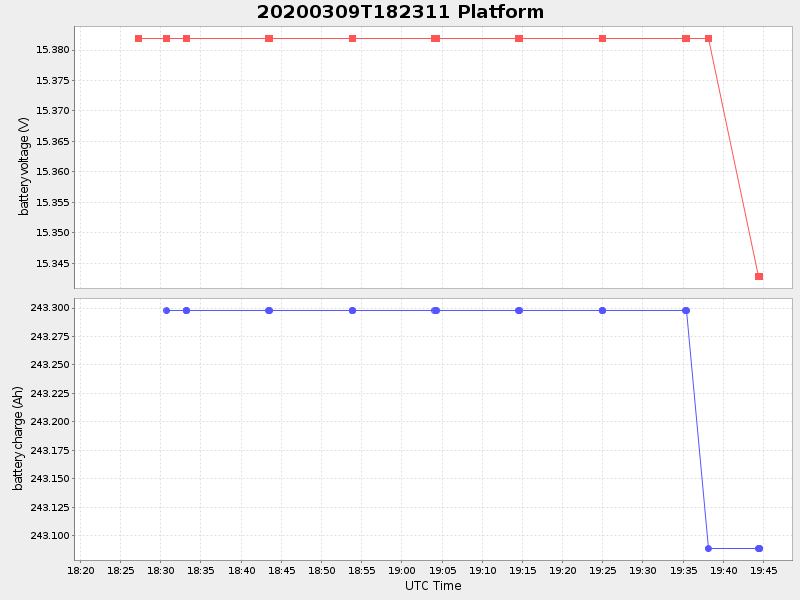
0.2056827237687913 Amp |
| Downloads: | ||||
| shore.nc shore.mat |
shore.kml shore.kmz |
shore.asc shore.dir |
shore.csv shore.log |
argos_24hr.kml argos_week.kml, argos_month.kml |
| Elapsed time since start: ... | Elapsed time since last valid data: ... |