Parent Directory
Parent Directory
Parent Directory
| Start time | End time | Last Latitude & Longitude |
Current (1hr avg) |
|---|---|---|---|
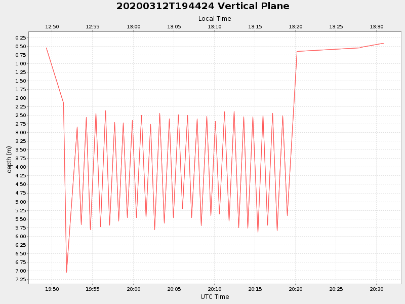
| 2020/03/12 19:49:13 GMT 2020/03/12 12:49:13 local |
2020/03/12 20:30:56 GMT 2020/03/12 13:30:56 local |
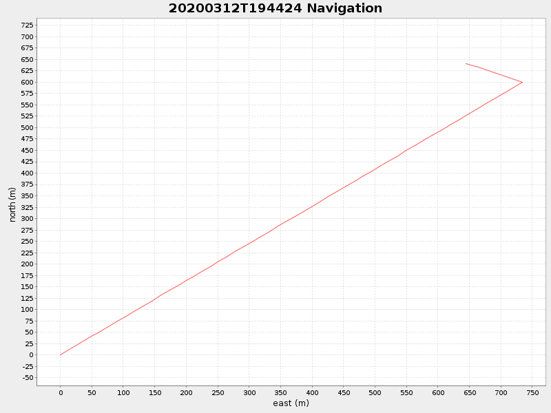
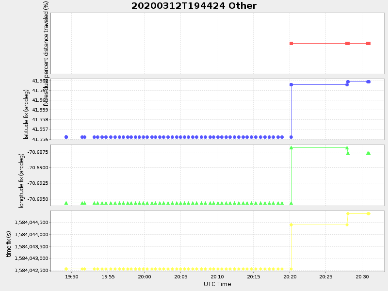
41.56196404638602 -70.68791100801178 |
NaN Amp |
| Downloads: | ||||
| shore.nc shore.mat |
shore.kml shore.kmz |
shore.asc shore.dir |
shore.csv shore.log |
argos_24hr.kml argos_week.kml, argos_month.kml |
| Elapsed time since start: 46221:15 | Elapsed time since last valid data: 46220:33 |