Parent Directory
Parent Directory
Parent Directory
| Start time | End time | Last Latitude & Longitude |
Current (1hr avg) |
|---|---|---|---|
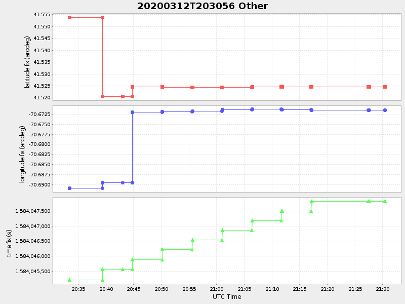
| 2020/03/12 20:33:19 GMT 2020/03/12 13:33:19 local |
2020/03/12 21:30:26 GMT 2020/03/12 14:30:26 local |
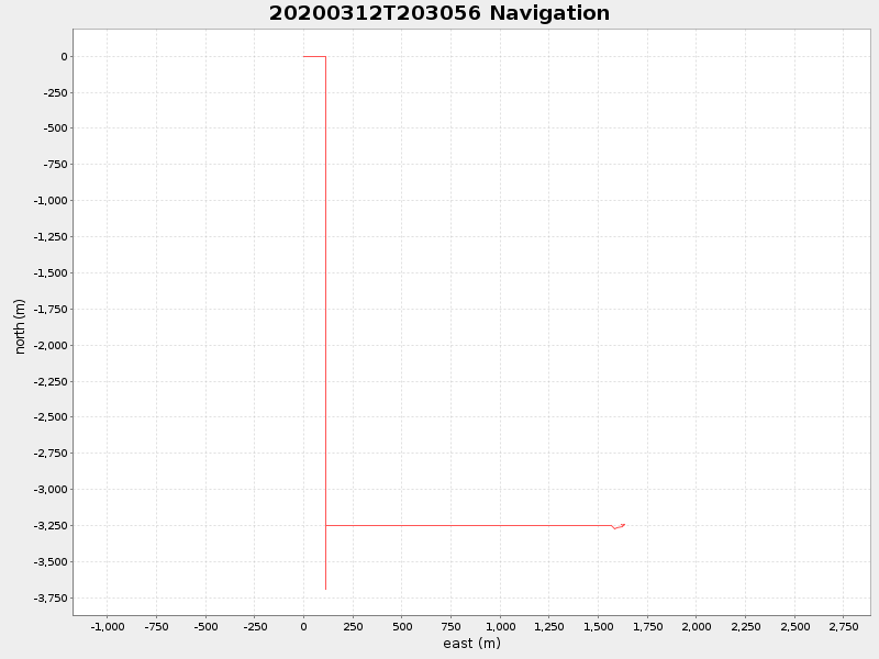
41.524608333172075 -70.67145183292732 |
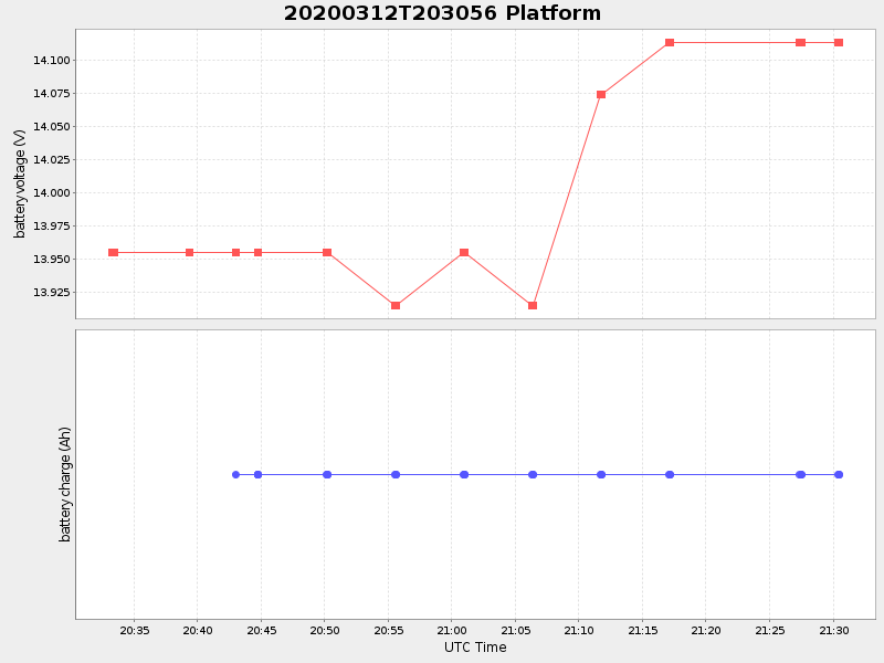
-0.0 Amp |
| Downloads: | ||||
| shore.nc shore.mat |
shore.kml shore.kmz |
shore.asc shore.dir |
shore.csv shore.log |
argos_24hr.kml argos_week.kml, argos_month.kml |
| Elapsed time since start: ... | Elapsed time since last valid data: ... |