Parent Directory
Parent Directory
Parent Directory
| Start time | End time | Last Latitude & Longitude |
Current (1hr avg) |
|---|---|---|---|
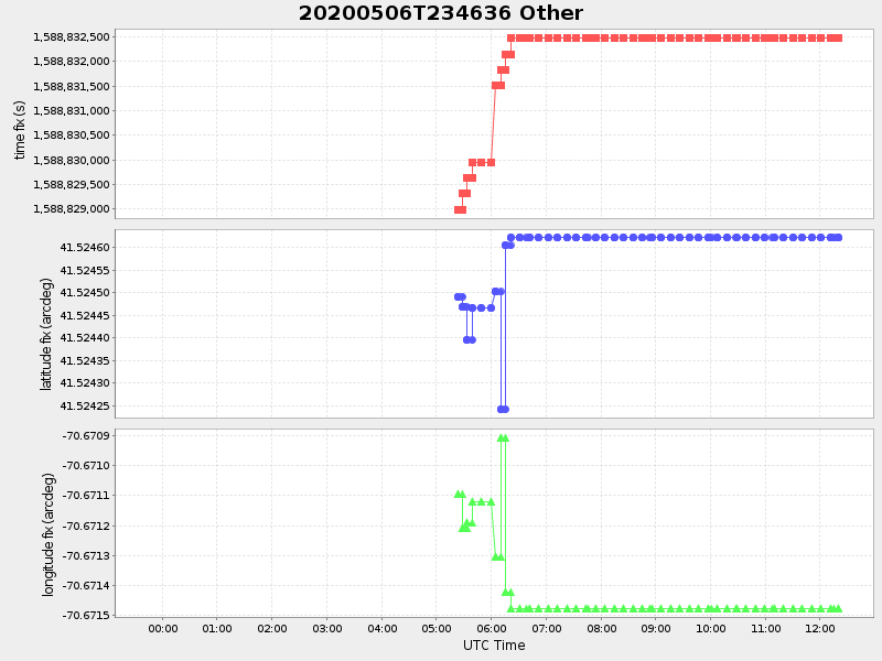
| 2020/05/06 23:46:47 GMT 2020/05/06 16:46:47 local |
2020/05/07 12:20:16 GMT 2020/05/07 05:20:16 local |
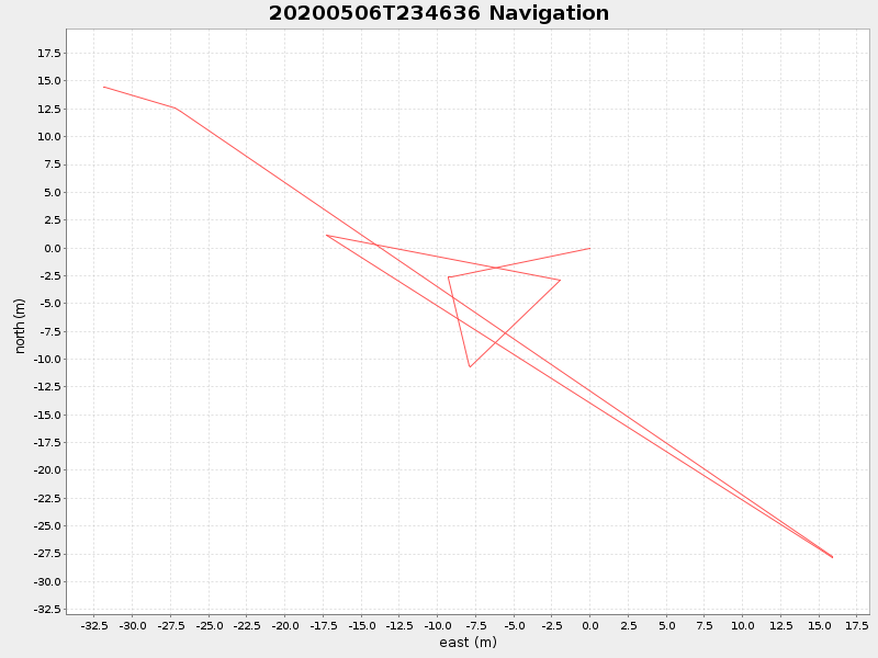
41.524622166556306 -70.67147883268511 |
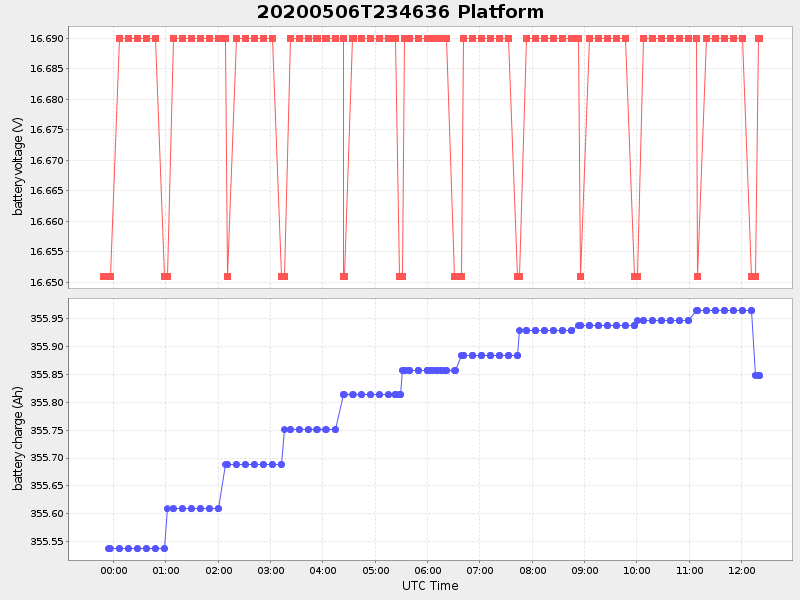
0.1147435192901209 Amp |
| Downloads: | ||||
| shore.nc shore.mat |
shore.kml shore.kmz |
shore.asc shore.dir |
shore.csv shore.log |
argos_24hr.kml argos_week.kml, argos_month.kml |
| Elapsed time since start: ... | Elapsed time since last valid data: ... |