Parent Directory
Parent Directory
Parent Directory
| Start time | End time | Last Latitude & Longitude |
Current (1hr avg) |
|---|---|---|---|
| 2020/05/10 19:49:35 GMT 2020/05/10 12:49:35 local |
2020/05/11 16:11:45 GMT 2020/05/11 09:11:45 local |
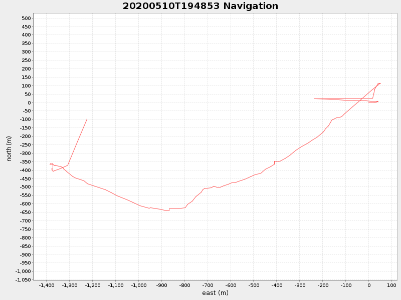
41.552161989964674 -70.72158897159946 |
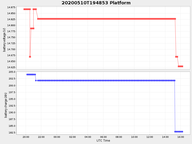
16.603793855100363 Amp |
| Downloads: | ||||
| shore.nc shore.mat |
shore.kml shore.kmz |
shore.asc shore.dir |
shore.csv shore.log |
argos_24hr.kml argos_week.kml, argos_month.kml |
| Elapsed time since start: ... | Elapsed time since last valid data: ... |