Parent Directory
Parent Directory
Parent Directory
| Start time | End time | Last Latitude & Longitude |
Current (1hr avg) |
|---|---|---|---|
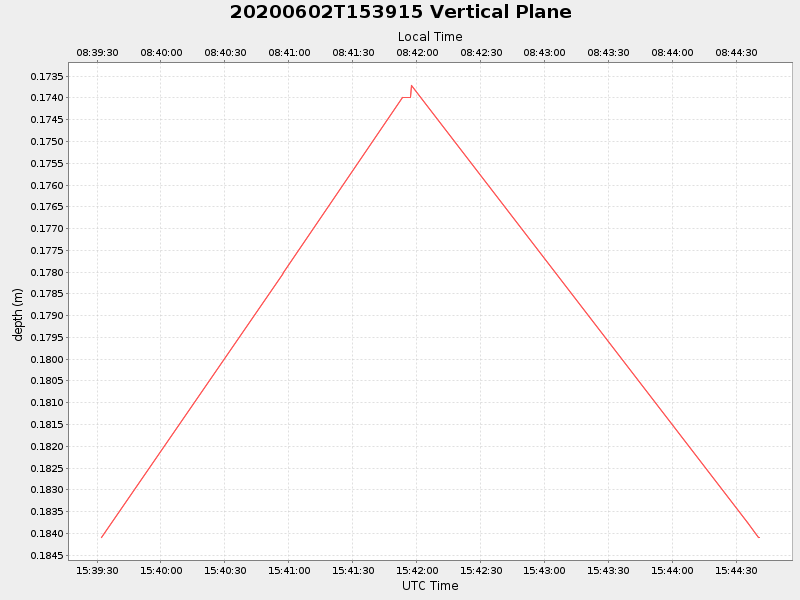
| 2020/06/02 15:39:32 GMT 2020/06/02 08:39:32 local |
2020/06/02 15:44:40 GMT 2020/06/02 08:44:40 local |
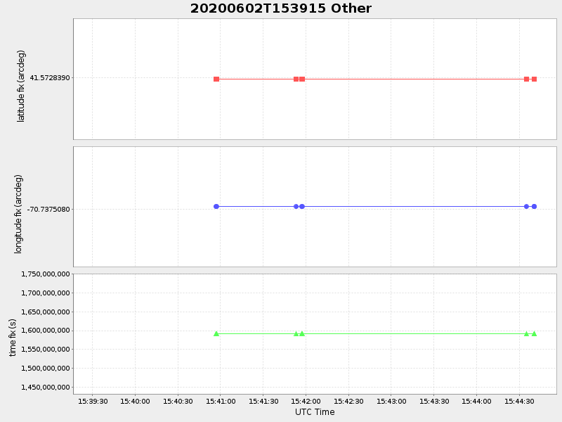
41.57283899987783 -70.737507999783 |
NaN Amp |
| Downloads: | ||||
| shore.nc shore.mat |
shore.kml shore.kmz |
shore.asc shore.dir |
shore.csv shore.log |
argos_24hr.kml argos_week.kml, argos_month.kml |
| Elapsed time since start: 45044:09 | Elapsed time since last valid data: 45044:04 |