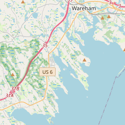
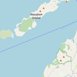
Polaris 20200603T121734 Parent Directory

Open page with static plots
Start timeEnd timeLast Latitude
& Longitude
Current
(1hr avg)
2020/06/03 12:21:09 GMT
2020/06/03 05:21:09 local
2020/06/03 14:31:43 GMT
2020/06/03 07:31:43 local
41.552177578837586
-70.70853055203831
2.2374316487584727 Amp
Downloads:
shore.nc
shore.mat
shore.kml
shore.kmz
shore.asc
shore.dir
shore.csv
shore.log
argos_24hr.kml
argos_week.kml, argos_month.kml
Elapsed time since start: 44340:37 Elapsed time since last valid data: 44338:26
MarkerMarkerMarkerMarker
Leaflet © OpenStreetMap contributors
Options for all plots below with a time axis:


Created with Highstock 6.1.3time (UTC)Depth (m)Vertical Plane12:3012:4513:0013:1513:3013:4514:0014:1514:30-5-2.502.557.510ZoomAll1h3h6h12h1d3d1wFromJun 3, 2020ToJun 3, 2020Highcharts.com
Created with Highstock 6.1.3longitude (arcdeg)latitude (arcdeg)Navigation-70.708-70.706-70.704-70.702-70.7-70.698-70.696-70.69441.54841.5541.55241.55441.55641.55841.5641.56241.56441.56641.56841.547541.552541.55541.557541.562541.56541.567541.57Highcharts.com
Created with Highstock 6.1.3time (UTC)time_fix (s)latitude_fix (arcdeg)longitude_fix (arcdeg)Other13:1013:2013:3013:4013:5014:0014:1014:201 591 188k1 591 190k1 591 192k1 591 194k1 591 196k41.5541.55541.5641.56541.57-70.71-70.705-70.7-70.695-70.69ZoomAll1h3h6h12h1d3d1wFromJun 3, 2020ToJun 3, 2020Highcharts.com
Created with Highstock 6.1.3time (UTC)battery_voltage (V)battery_voltage12:3012:4513:0013:1513:3013:4514:0014:1514:3014.8514.914.951515.0515.115.1515.2ZoomAll1h3h6h12h1d3d1wFromJun 3, 2020ToJun 3, 2020Highcharts.com
Created with Highstock 6.1.3time (UTC)battery_charge (Ah)battery_charge14:00224.5225225.5226226.5227227.5ZoomAll1h3h6h12h1d3d1wFromJun 3, 2020ToJun 3, 2020Highcharts.com
Created with Highstock 6.1.3time (UTC)fix_residual_percent_distance_traveled (%)fix_residual_percent_distance_traveled13:3014:0023456789ZoomAll1h3h6h12h1d3d1wFromJun 3, 2020ToJun 3, 2020Highcharts.com