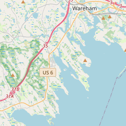
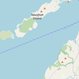
Polaris 20201212T154755 Parent Directory

Open page with static plots
Start timeEnd timeLast Latitude
& Longitude
Current
(1hr avg)
2020/12/12 15:47:56 GMT
2020/12/12 07:47:56 local
2020/12/12 15:57:22 GMT
2020/12/12 07:57:22 local
41.55247101350269
-70.71150024775305
NaN Amp
Downloads:
shore.nc
shore.mat
shore.kml
shore.kmz
shore.asc
shore.dir
shore.csv
shore.log
argos_24hr.kml
argos_week.kml, argos_month.kml
Elapsed time since start: 39633:38 Elapsed time since last valid data: 39633:28
MarkerMarker
Leaflet © OpenStreetMap contributors
Options for all plots below with a time axis:


Created with Highstock 6.1.3time (UTC)Depth (m)Vertical Plane15:4915:5015:5115:5215:5315:5415:5515:5615:57-5-4-3-2-101ZoomAll1h3h6h12h1d3d1wFromDec 12, 2020ToDec 12, 2020Highcharts.com
Created with Highstock 6.1.3longitude (arcdeg)latitude (arcdeg)Navigation-70.7115-70.7114-70.7113-70.7112-70.7111-70.711-70.7109-70.7108-70.7107-70.7106-70.710541.5524641.5524841.552541.5525241.5525441.5525641.5525841.552641.55262Highcharts.com
Created with Highstock 6.1.3time (UTC)time_fix (s)latitude_fix (arcdeg)longitude_fix (arcdeg)Other15:501 607 788 0001 607 788 2001 607 788 4001 607 788 60041.552541.5525241.5525441.5525641.55258-70.7115-70.71125-70.711-70.71075-70.7105-70.71025ZoomAll1h3h6h12h1d3d1wFromDec 12, 2020ToDec 12, 2020Highcharts.com
Created with Highstock 6.1.3time (UTC)fix_residual_percent_distance_traveled (%)fix_residual_percent_distance_traveled15:47:56.8404.344559ZoomAll1h3h6h12h1d3d1wFromDec 12, 2020ToDec 12, 2020Highcharts.com