Polaris 20210210T144202 Parent Directory

Open page with static plots
Start timeEnd timeLast Latitude
& Longitude
Current
(1hr avg)
2021/02/10 14:42:14 GMT
2021/02/10 06:42:14 local
2021/02/10 15:56:52 GMT
2021/02/10 07:56:52 local
41.55231857280178
-70.70860290518601
-0.0 Amp
Downloads:
shore.nc
shore.mat
shore.kml
shore.kmz
shore.asc
shore.dir
shore.csv
shore.log
argos_24hr.kml
argos_week.kml, argos_month.kml
Elapsed time since start: 38276:03 Elapsed time since last valid data: 38274:49
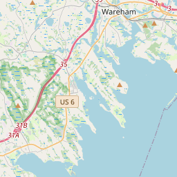
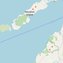
MarkerMarker
Leaflet © OpenStreetMap contributors
Options for all plots below with a time axis:


Created with Highstock 6.1.3time (UTC)Depth (m)Vertical Plane14:5015:0015:1015:2015:3015:4015:50-5-4-3-2-101ZoomAll1h3h6h12h1d3d1wFromFeb 10, 2021ToFeb 10, 2021Highcharts.com
Created with Highstock 6.1.3longitude (arcdeg)latitude (arcdeg)Navigation-70.705-70.7-70.695-70.69-70.685-70.68-70.67541.522541.52541.527541.5341.532541.53541.537541.5441.542541.54541.547541.5541.552541.55541.52Highcharts.com
Created with Highstock 6.1.3time (UTC)time_fix (s)latitude_fix (arcdeg)longitude_fix (arcdeg)Other14:43:47.1021 612 968 091.18419441.525219-70.672595ZoomAll1h3h6h12h1d3d1wFromFeb 10, 2021ToFeb 10, 2021Highcharts.com
Created with Highstock 6.1.3time (UTC)battery_charge (Ah)battery_charge14:49:36.783360.275543ZoomAll1h3h6h12h1d3d1wFromFeb 10, 2021ToFeb 10, 2021Highcharts.com
Created with Highstock 6.1.3time (UTC)acoustic_contact_range (m)acoustic_contact_range15:3215:3415:3615:3815:4015:420.230.240.250.260.270.280.290.30.31ZoomAll1h3h6h12h1d3d1wFromFeb 10, 2021ToFeb 10, 2021Highcharts.com
Created with Highstock 6.1.3time (UTC)fix_residual_percent_distance_traveled (%)fix_residual_percent_distance_traveled15:30:30.388172.143555ZoomAll1h3h6h12h1d3d1wFromFeb 10, 2021ToFeb 10, 2021Highcharts.com