Parent Directory
Parent Directory
Parent Directory
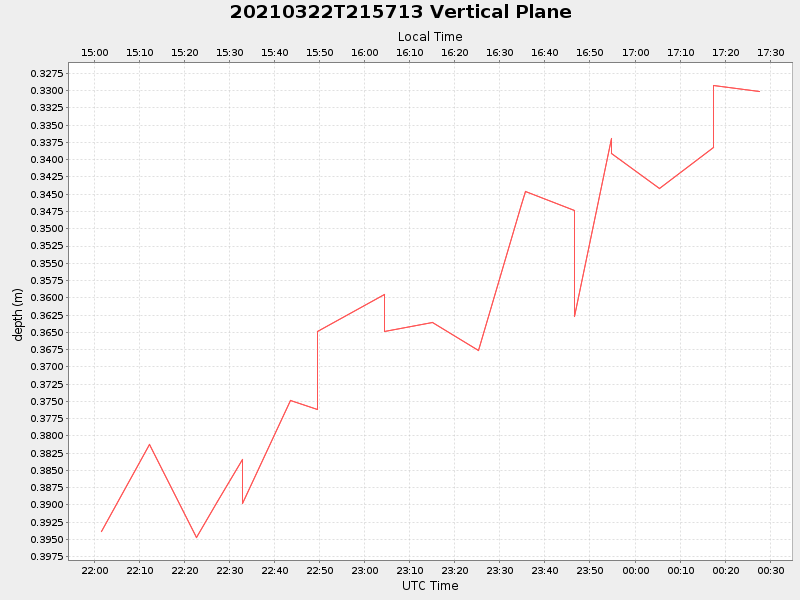
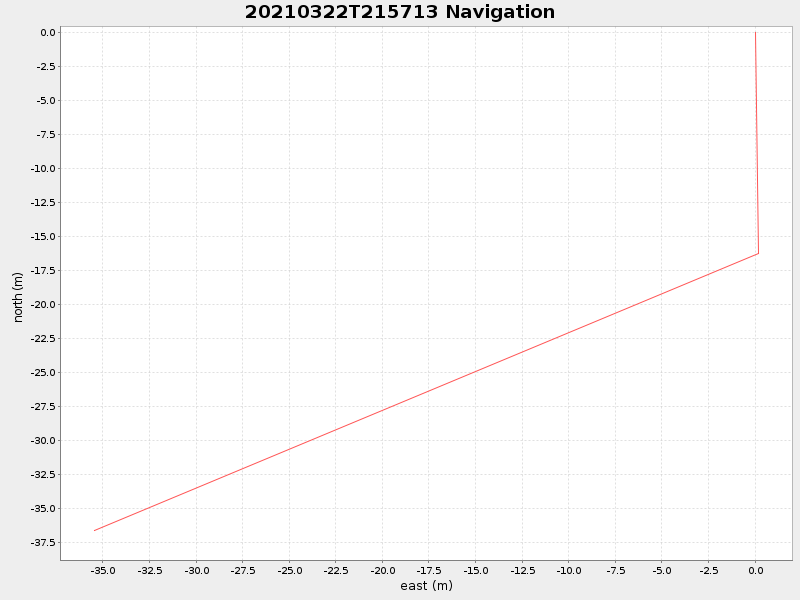
| Start time | End time | Last Latitude & Longitude |
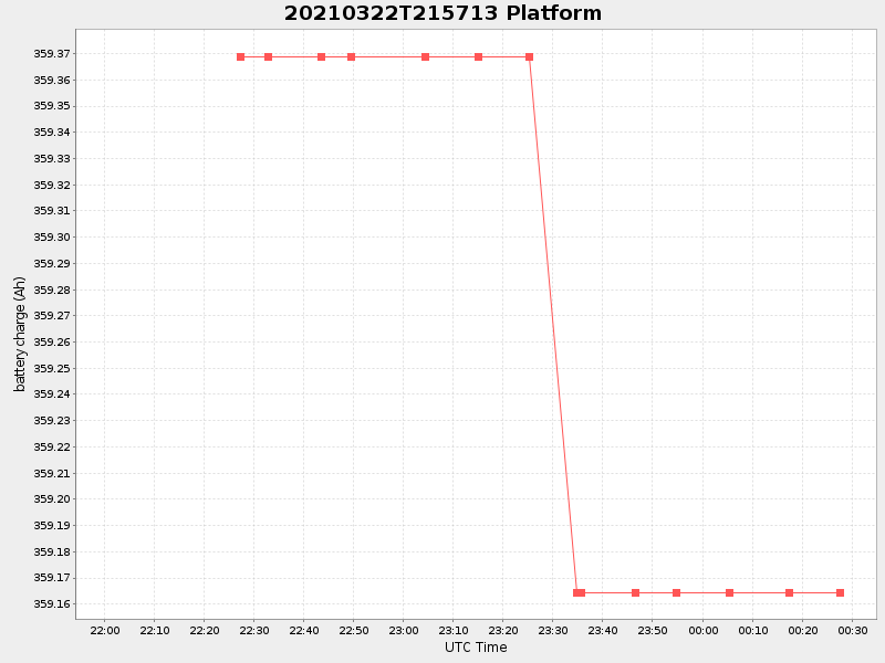
Current (1hr avg) |
|---|---|---|---|
| 2021/03/22 22:01:40 GMT 2021/03/22 15:01:40 local |
2021/03/23 00:27:32 GMT 2021/03/22 17:27:32 local |
41.52426881390663 -70.67173964886136 |
0.1972144188817453 Amp |
| Downloads: | ||||
| shore.nc shore.mat |
shore.kml shore.kmz |
shore.asc shore.dir |
shore.csv shore.log |
argos_24hr.kml argos_week.kml, argos_month.kml |
| Elapsed time since start: ... | Elapsed time since last valid data: ... |