Parent Directory
Parent Directory
Parent Directory
| Start time | End time | Last Latitude & Longitude |
Current (1hr avg) |
|---|---|---|---|
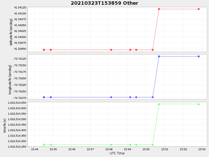
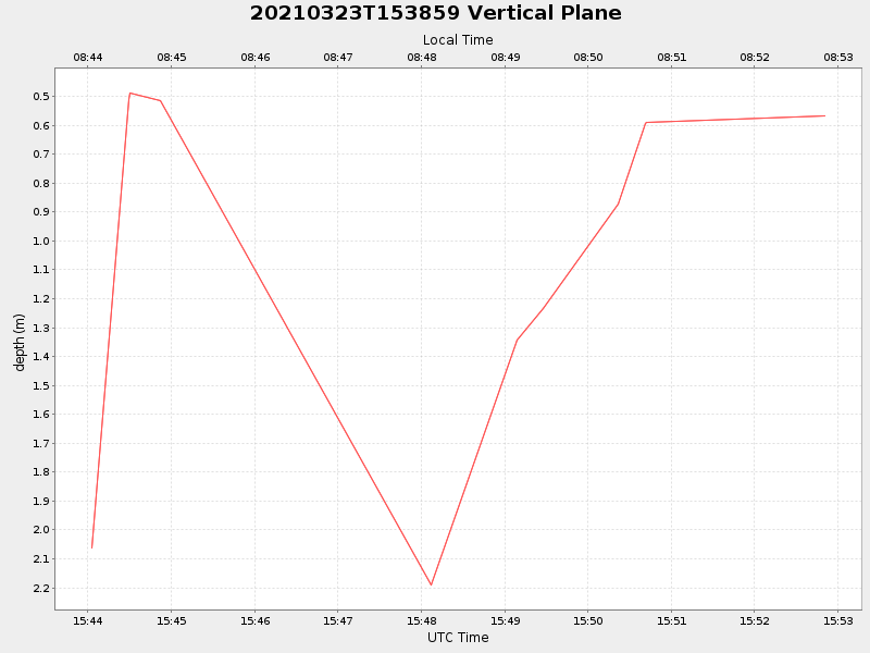
| 2021/03/23 15:44:02 GMT 2021/03/23 08:44:02 local |
2021/03/23 15:52:50 GMT 2021/03/23 08:52:50 local |
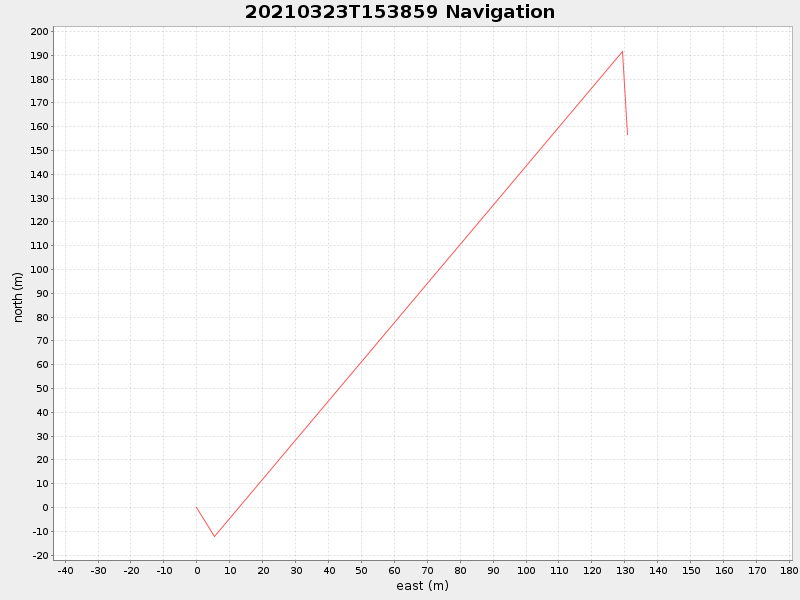
41.54086323332339 -70.70114316634113 |
NaN Amp |
| Downloads: | ||||
| shore.nc shore.mat |
shore.kml shore.kmz |
shore.asc shore.dir |
shore.csv shore.log |
argos_24hr.kml argos_week.kml, argos_month.kml |
| Elapsed time since start: 37218:22 | Elapsed time since last valid data: 37218:13 |