Parent Directory
Parent Directory
Parent Directory
| Start time | End time | Last Latitude & Longitude |
Current (1hr avg) |
|---|---|---|---|
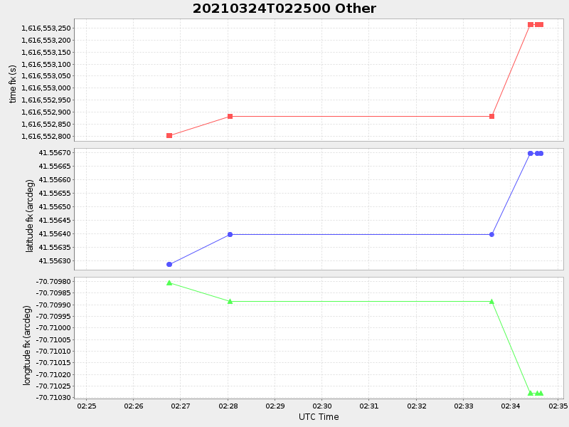
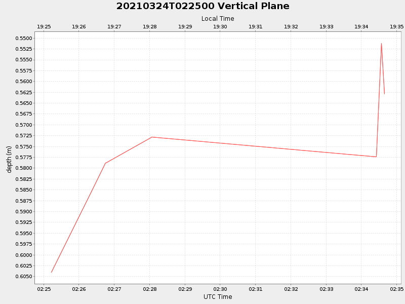
| 2021/03/24 02:25:13 GMT 2021/03/23 19:25:13 local |
2021/03/24 02:34:38 GMT 2021/03/23 19:34:38 local |
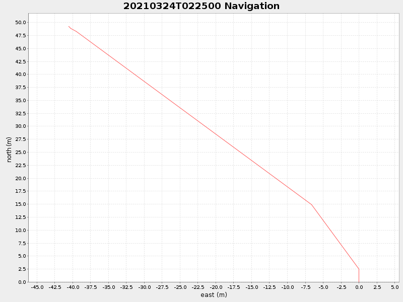
41.556706002594936 -70.71029325527614 |
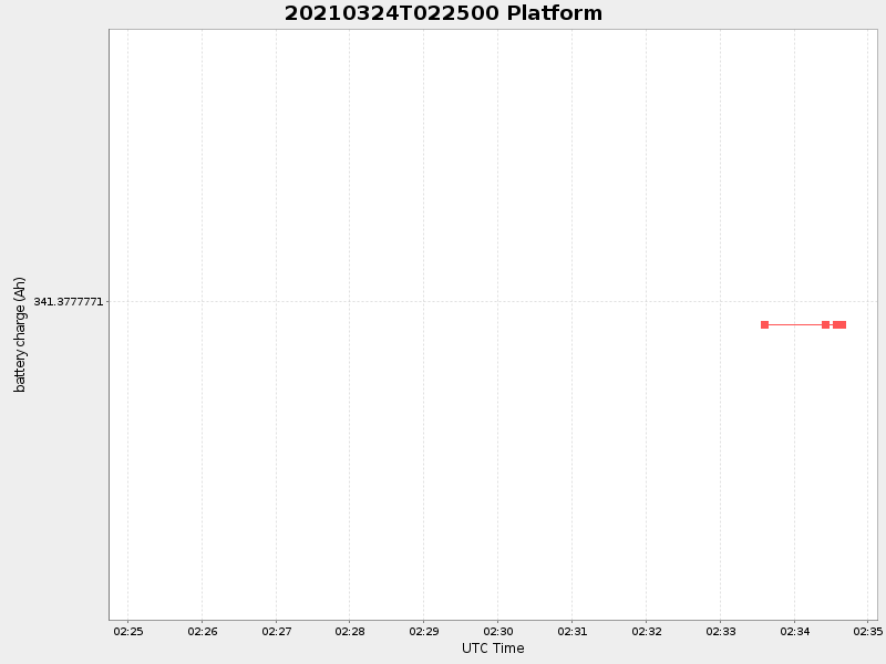
-0.0 Amp |
| Downloads: | ||||
| shore.nc shore.mat |
shore.kml shore.kmz |
shore.asc shore.dir |
shore.csv shore.log |
argos_24hr.kml argos_week.kml, argos_month.kml |
| Elapsed time since start: ... | Elapsed time since last valid data: ... |