Parent Directory
Parent Directory
Parent Directory
| Start time | End time | Last Latitude & Longitude |
Current (1hr avg) |
|---|---|---|---|
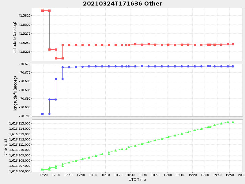
| 2021/03/24 17:18:36 GMT 2021/03/24 10:18:36 local |
2021/03/24 19:52:42 GMT 2021/03/24 12:52:42 local |
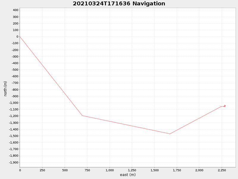
41.524510333047566 -70.6713958332135 |
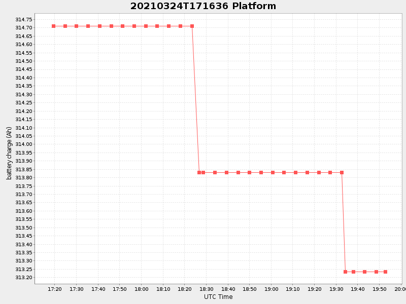
0.5700389675541928 Amp |
| Downloads: | ||||
| shore.nc shore.mat |
shore.kml shore.kmz |
shore.asc shore.dir |
shore.csv shore.log |
argos_24hr.kml argos_week.kml, argos_month.kml |
| Elapsed time since start: ... | Elapsed time since last valid data: ... |