Parent Directory
Parent Directory
Parent Directory
| Start time | End time | Last Latitude & Longitude |
Current (1hr avg) |
|---|---|---|---|
| 2021/03/31 12:24:57 GMT 2021/03/31 05:24:57 local |
2021/03/31 14:51:59 GMT 2021/03/31 07:51:59 local |
41.523331878204914 -70.6737993127494 |
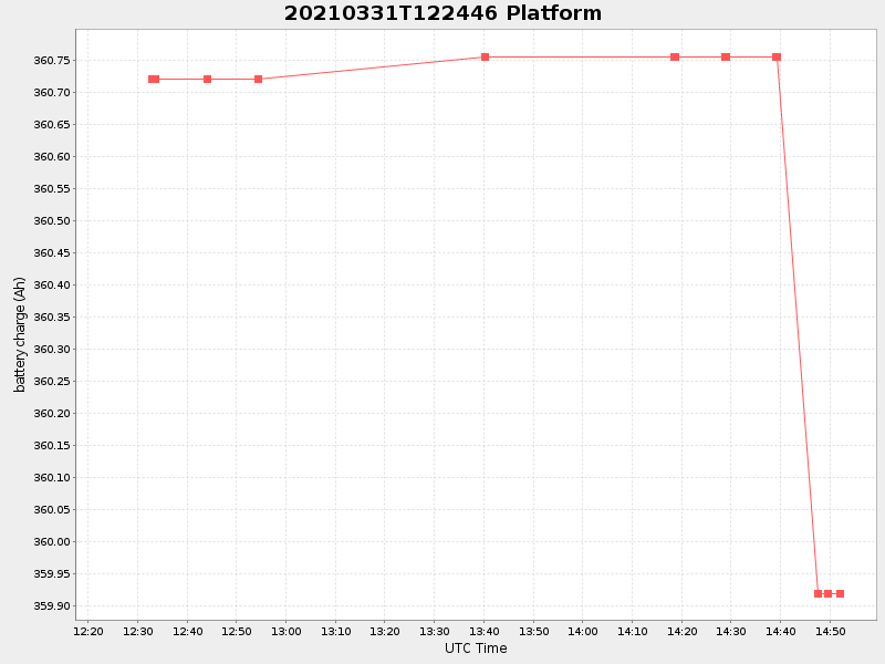
0.6994108192335257 Amp |
| Downloads: | ||||
| shore.nc shore.mat |
shore.kml shore.kmz |
shore.asc shore.dir |
shore.csv shore.log |
argos_24hr.kml argos_week.kml, argos_month.kml |
| Elapsed time since start: ... | Elapsed time since last valid data: ... |