Parent Directory
Parent Directory
Parent Directory
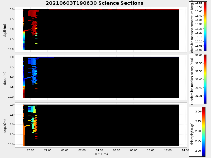
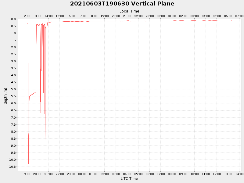
| Start time | End time | Last Latitude & Longitude |
Current (1hr avg) |
|---|---|---|---|
| 2021/06/03 19:08:37 GMT 2021/06/03 12:08:37 local |
2021/06/04 13:17:41 GMT 2021/06/04 06:17:41 local |
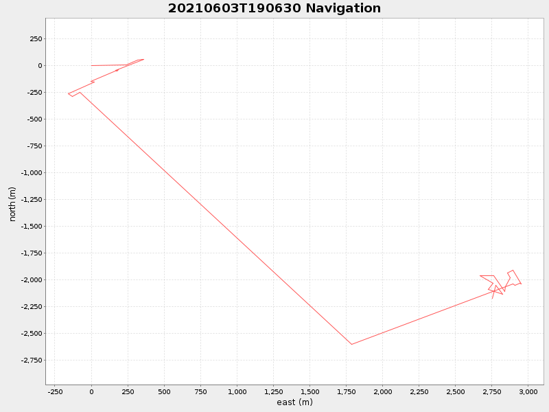
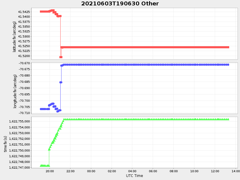
41.52317658353215 -70.67371280146665 |
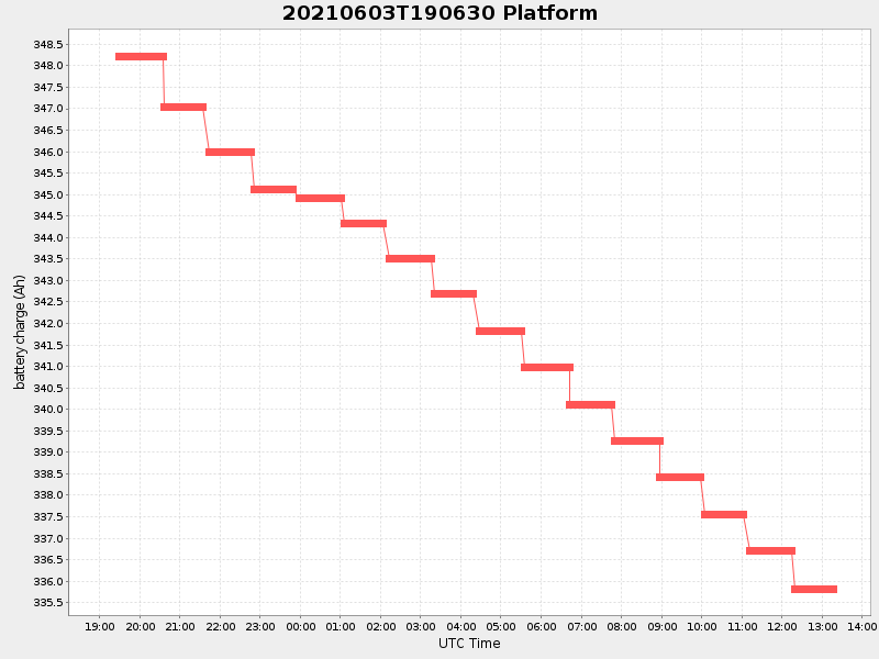
0.8418834517036535 Amp |
| Downloads: | ||||
| shore.nc shore.mat |
shore.kml shore.kmz |
shore.asc shore.dir |
shore.csv shore.log |
argos_24hr.kml argos_week.kml, argos_month.kml |
| Elapsed time since start: ... | Elapsed time since last valid data: ... |