Parent Directory
Parent Directory
Parent Directory
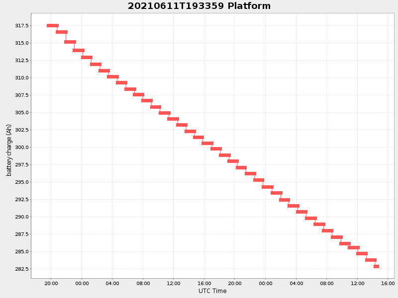
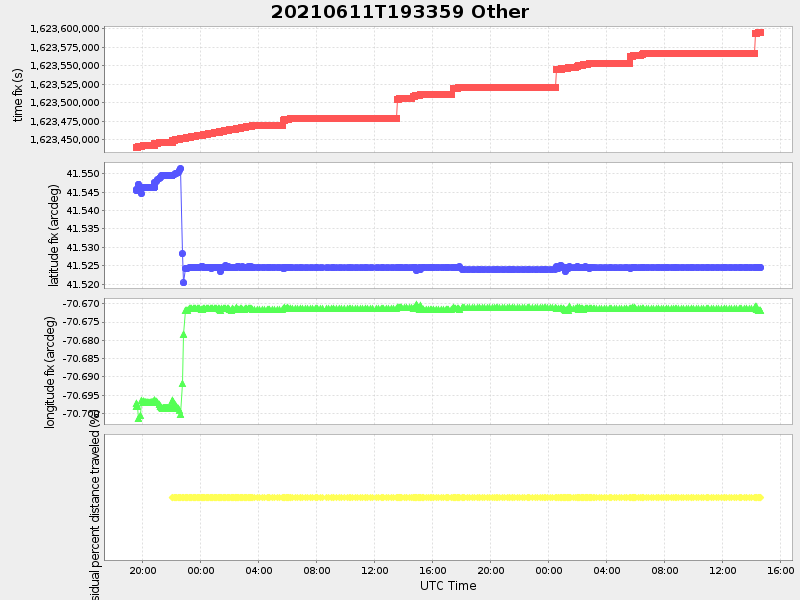
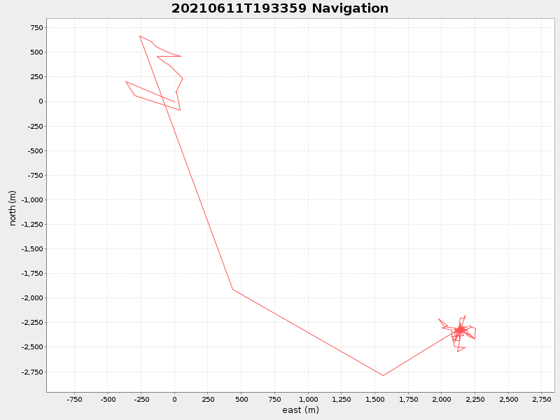
| Start time | End time | Last Latitude & Longitude |
Current (1hr avg) |
|---|---|---|---|
| 2021/06/11 19:34:11 GMT 2021/06/11 12:34:11 local |
2021/06/13 14:38:53 GMT 2021/06/13 07:38:53 local |
41.52454149995447 -70.67187716644936 |
0.7900767046229155 Amp |
| Downloads: | ||||
| shore.nc shore.mat |
shore.kml shore.kmz |
shore.asc shore.dir |
shore.csv shore.log |
argos_24hr.kml argos_week.kml, argos_month.kml |
| Elapsed time since start: ... | Elapsed time since last valid data: ... |