Parent Directory
Parent Directory
Parent Directory
| Start time | End time | Last Latitude & Longitude |
Current (1hr avg) |
|---|---|---|---|
| 2021/06/15 18:42:25 GMT 2021/06/15 11:42:25 local |
2021/06/16 15:38:58 GMT 2021/06/16 08:38:58 local |
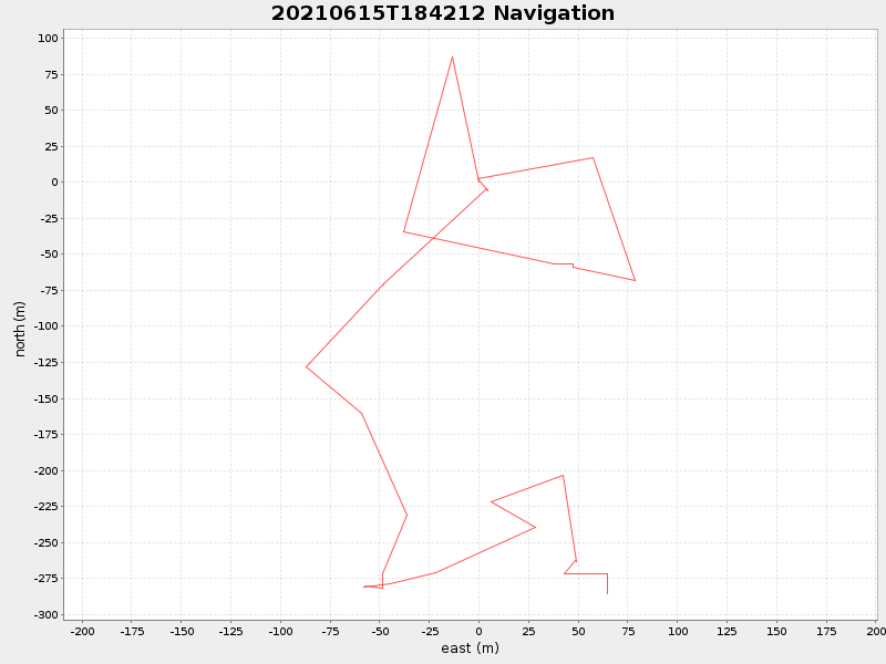
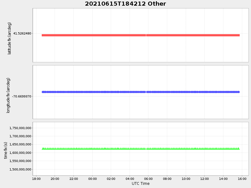
41.523683205643465 -70.66915745632525 |
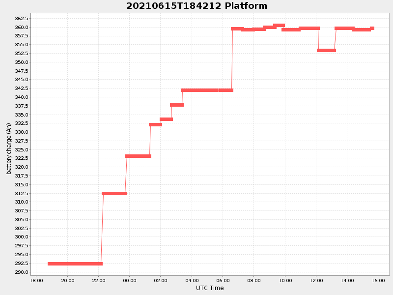
-0.3735259240919783 Amp |
| Downloads: | ||||
| shore.nc shore.mat |
shore.kml shore.kmz |
shore.asc shore.dir |
shore.csv shore.log |
argos_24hr.kml argos_week.kml, argos_month.kml |
| Elapsed time since start: ... | Elapsed time since last valid data: ... |