Parent Directory
Parent Directory
Parent Directory
| Start time | End time | Last Latitude & Longitude |
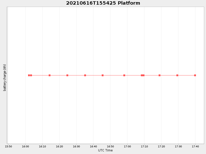
Current (1hr avg) |
|---|---|---|---|
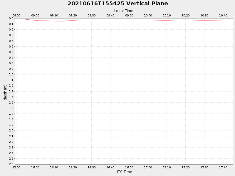
| 2021/06/16 15:54:36 GMT 2021/06/16 08:54:36 local |
2021/06/16 17:39:48 GMT 2021/06/16 10:39:48 local |
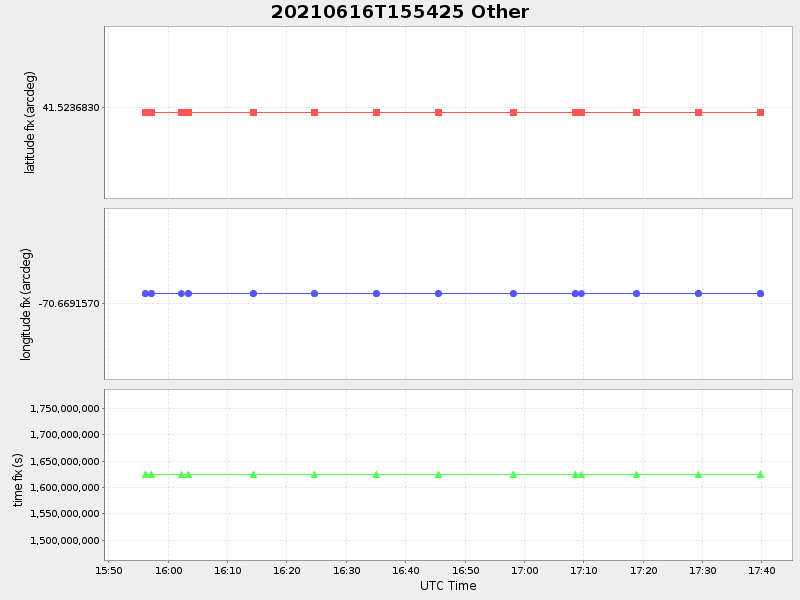
41.52368299970392 -70.66915699942295 |
-0.0 Amp |
| Downloads: | ||||
| shore.nc shore.mat |
shore.kml shore.kmz |
shore.asc shore.dir |
shore.csv shore.log |
argos_24hr.kml argos_week.kml, argos_month.kml |
| Elapsed time since start: ... | Elapsed time since last valid data: ... |