Parent Directory
Parent Directory
Parent Directory
| Start time | End time | Last Latitude & Longitude |
Current (1hr avg) |
|---|---|---|---|
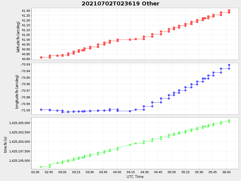
| 2021/07/02 02:36:35 GMT 2021/07/01 19:36:35 local |
2021/07/02 06:03:12 GMT 2021/07/01 23:03:12 local |
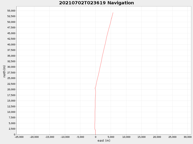
41.30250783317713 -70.9309691659906 |
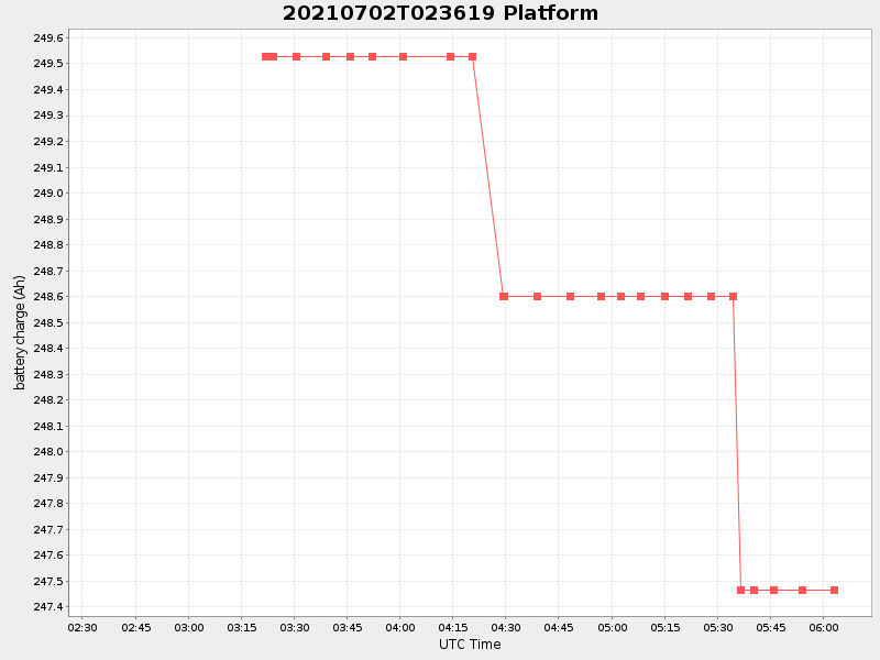
1.123368409966096 Amp |
| Downloads: | ||||
| shore.nc shore.mat |
shore.kml shore.kmz |
shore.asc shore.dir |
shore.csv shore.log |
argos_24hr.kml argos_week.kml, argos_month.kml |
| Elapsed time since start: ... | Elapsed time since last valid data: ... |