Parent Directory
Parent Directory
Parent Directory
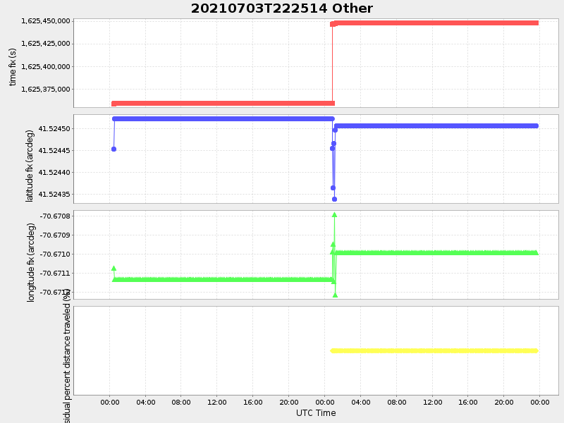
| Start time | End time | Last Latitude & Longitude |
Current (1hr avg) |
|---|---|---|---|
| 2021/07/03 22:30:28 GMT 2021/07/03 15:30:28 local |
2021/07/05 23:37:09 GMT 2021/07/05 16:37:09 local |
41.52373333191153 -70.67607936029493 |
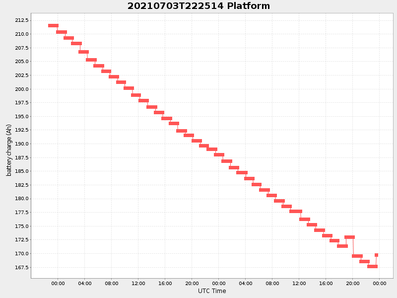
-1.8526699643456863 Amp |
| Downloads: | ||||
| shore.nc shore.mat |
shore.kml shore.kmz |
shore.asc shore.dir |
shore.csv shore.log |
argos_24hr.kml argos_week.kml, argos_month.kml |
| Elapsed time since start: ... | Elapsed time since last valid data: ... |