Parent Directory
Parent Directory
Parent Directory
| Start time | End time | Last Latitude & Longitude |
Current (1hr avg) |
|---|---|---|---|
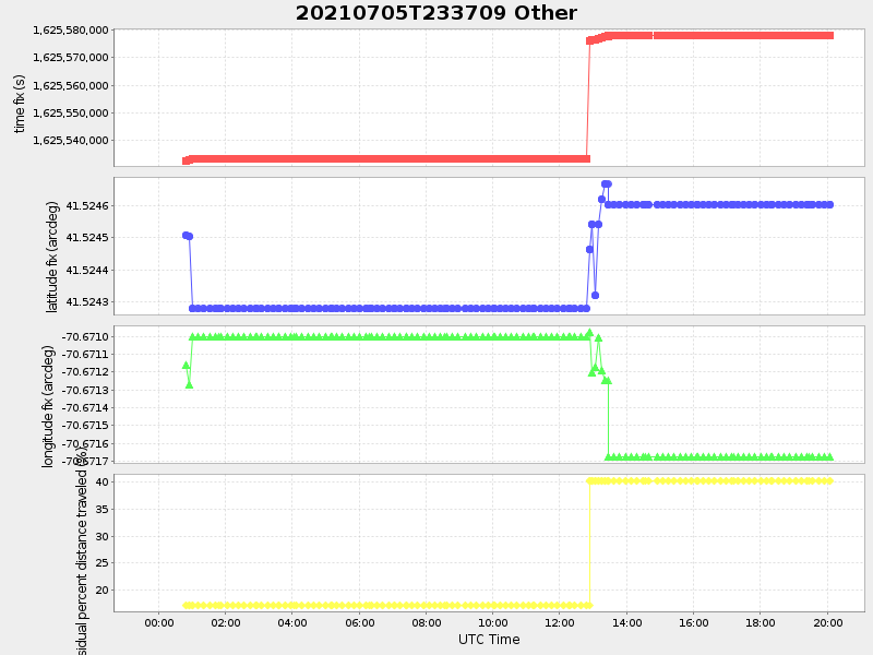
| 2021/07/05 23:42:23 GMT 2021/07/05 16:42:23 local |
2021/07/06 20:05:11 GMT 2021/07/06 13:05:11 local |
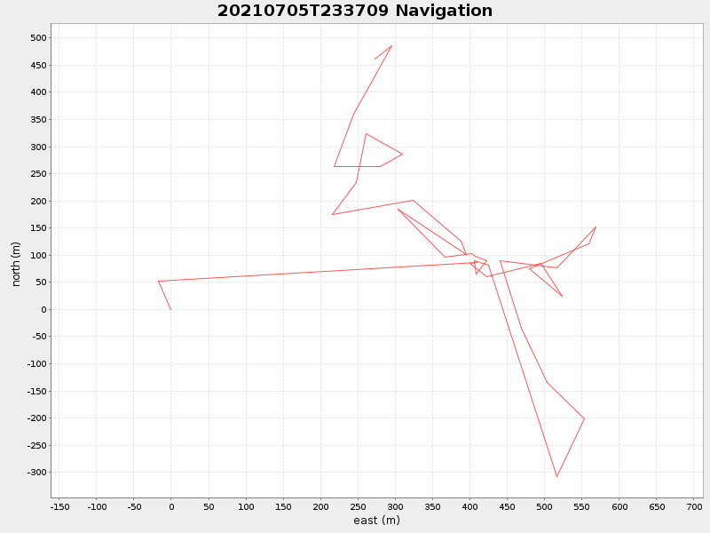
41.52788712913106 -70.6727959252768 |
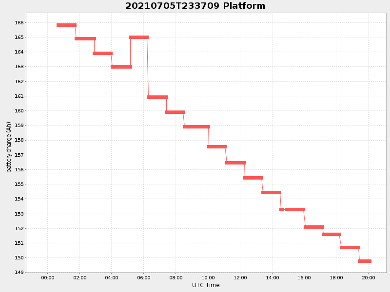
0.8968749071863285 Amp |
| Downloads: | ||||
| shore.nc shore.mat |
shore.kml shore.kmz |
shore.asc shore.dir |
shore.csv shore.log |
argos_24hr.kml argos_week.kml, argos_month.kml |
| Elapsed time since start: ... | Elapsed time since last valid data: ... |