Parent Directory
Parent Directory
Parent Directory
| Start time | End time | Last Latitude & Longitude |
Current (1hr avg) |
|---|---|---|---|
| 2021/08/02 20:07:06 GMT 2021/08/02 13:07:06 local |
2021/08/03 16:19:11 GMT 2021/08/03 09:19:11 local |
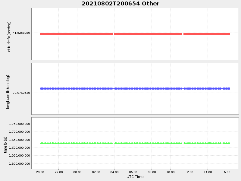
41.52580799978752 -70.67605299919984 |
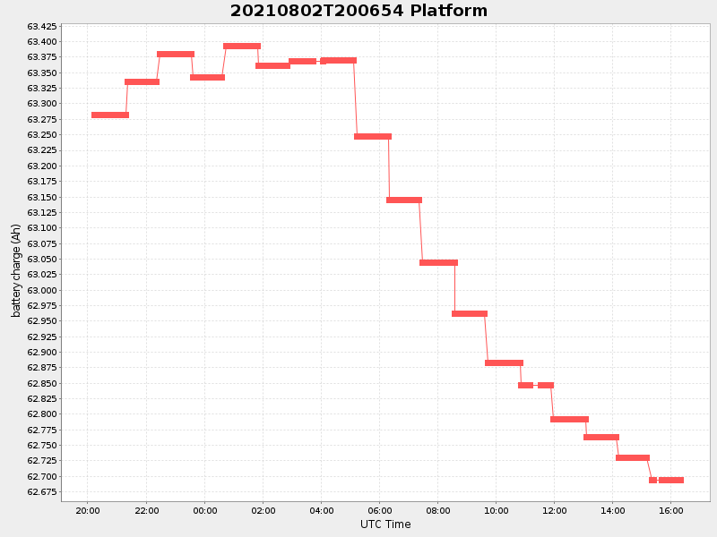
0.031061210122975958 Amp |
| Downloads: | ||||
| shore.nc shore.mat |
shore.kml shore.kmz |
shore.asc shore.dir |
shore.csv shore.log |
argos_24hr.kml argos_week.kml, argos_month.kml |
| Elapsed time since start: ... | Elapsed time since last valid data: ... |