Polaris 20210804T203600 Parent Directory

Open page with static plots
Start timeEnd timeLast Latitude
& Longitude
Current
(1hr avg)
2021/08/04 20:36:12 GMT
2021/08/04 13:36:12 local
2021/08/04 20:57:51 GMT
2021/08/04 13:57:51 local
41.52412924776213
-70.68246172684469
NaN Amp
Downloads:
shore.nc
shore.mat
shore.kml
shore.kmz
shore.asc
shore.dir
shore.csv
shore.log
argos_24hr.kml
argos_week.kml, argos_month.kml
Elapsed time since start: 33982:19 Elapsed time since last valid data: 33981:57
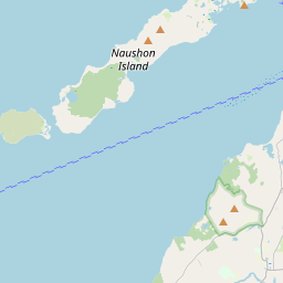
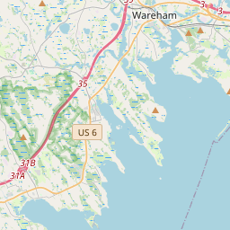
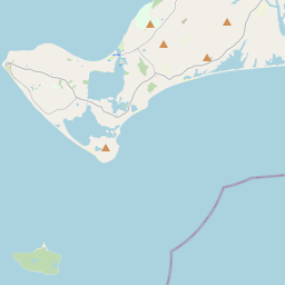
MarkerMarkerMarkerMarkerMarker
Leaflet © OpenStreetMap contributors
Options for all plots below with a time axis:


Created with Highstock 6.1.3time (UTC)chlorophyll (ug/l)Science20:42:0020:42:3020:43:0020:43:3020:44:0020:44:3020:45:0000.0010.0020.0030.0040.0050.0060.0070.0080.009ZoomAll1h3h6h12h1d3d1wFromAug 4, 2021ToAug 4, 2021Highcharts.com
Created with Highstock 6.1.3time (UTC)Depth (m)Vertical Plane20:3820:4020:4220:4420:4620:4820:5020:5220:5420:56-5-4-3-2-101ZoomAll1h3h6h12h1d3d1wFromAug 4, 2021ToAug 4, 2021Highcharts.com
Created with Highstock 6.1.3time (UTC)Depth (m)chlorophyll (ug/l)Science Sections20:3820:4020:4220:4420:4620:4820:5020:5220:5420:56-6-4-20200.00250.0050.00750.01ZoomAll1h3h6h12h1d3d1wFromAug 4, 2021ToAug 4, 2021Highcharts.com
Created with Highstock 6.1.3ug/l0.008 -0.008 -0.007 -0.007 -0.006 -0.006 -0.006 -0.005 -0.005 -0.005 -0.004 -0.004 -0.003 -0.003 -0.003 -0.002 -0.002 -0.002 -0.001 -0.001 -time (UTC)Depth (m)Science Section: chlorophyll20:3820:4020:4220:4420:4620:4820:5020:5220:5420:56-5-4-3-2-101ZoomAll1h3h6h12h1d3d1wFromAug 4, 2021ToAug 4, 2021Highcharts.com
Created with Highstock 6.1.3longitude (arcdeg)latitude (arcdeg)Navigation-70.68245-70.6824-70.68235-70.6823-70.68225-70.6822-70.68215-70.682141.523741.5237541.523841.5238541.523941.5239541.52441.5240541.524141.5241541.52365Highcharts.com