Parent Directory
Parent Directory
Parent Directory
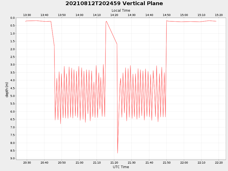
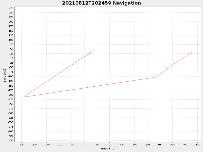
| Start time | End time | Last Latitude & Longitude |
Current (1hr avg) |
|---|---|---|---|
| 2021/08/12 20:29:19 GMT 2021/08/12 13:29:19 local |
2021/08/12 22:18:29 GMT 2021/08/12 15:18:29 local |
41.55391903820275 -70.70171500875489 |
1.9901593710350025 Amp |
| Downloads: | ||||
| shore.nc shore.mat |
shore.kml shore.kmz |
shore.asc shore.dir |
shore.csv shore.log |
argos_24hr.kml argos_week.kml, argos_month.kml |
| Elapsed time since start: 33785:60 | Elapsed time since last valid data: 33784:10 |