Parent Directory
Parent Directory
Parent Directory
| Start time | End time | Last Latitude & Longitude |
Current (1hr avg) |
|---|---|---|---|
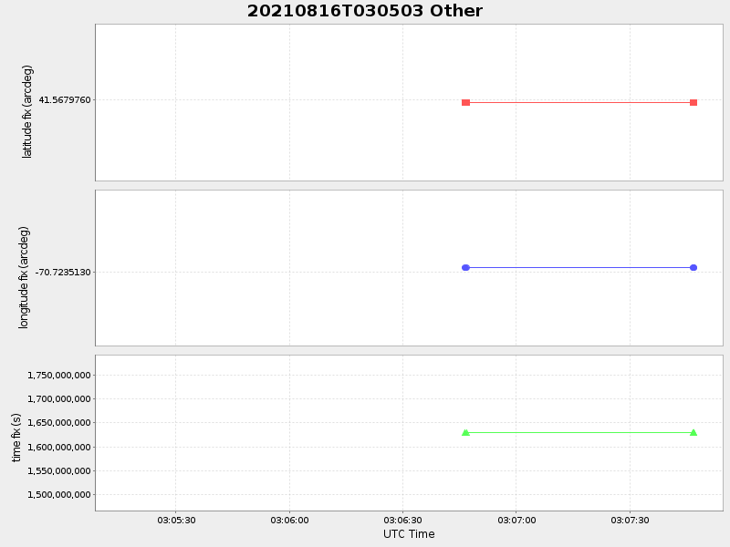
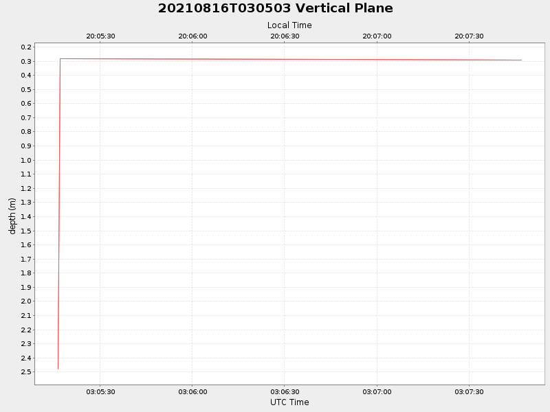
| 2021/08/16 03:05:16 GMT 2021/08/15 20:05:16 local |
2021/08/16 03:07:46 GMT 2021/08/15 20:07:46 local |
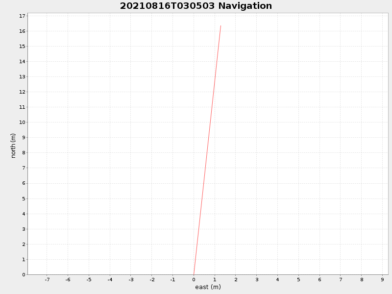
41.56812307317041 -70.7234973541345 |
NaN Amp |
| Downloads: | ||||
| shore.nc shore.mat |
shore.kml shore.kmz |
shore.asc shore.dir |
shore.csv shore.log |
argos_24hr.kml argos_week.kml, argos_month.kml |
| Elapsed time since start: 33716:18 | Elapsed time since last valid data: 33716:16 |