Parent Directory
Parent Directory
Parent Directory
| Start time | End time | Last Latitude & Longitude |
Current (1hr avg) |
|---|---|---|---|
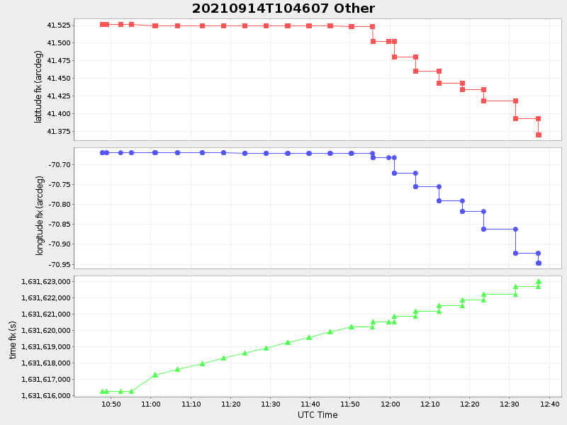
| 2021/09/14 10:46:21 GMT 2021/09/14 03:46:21 local |
2021/09/14 12:37:27 GMT 2021/09/14 05:37:27 local |
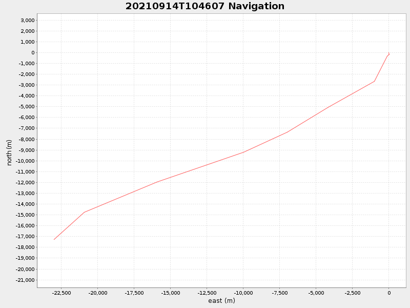
41.370528333089645 -70.94696916593337 |
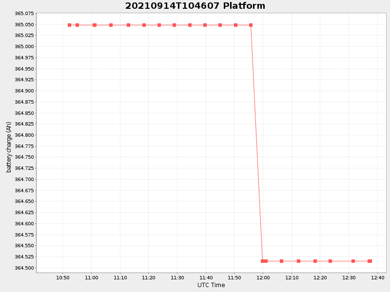
0.507101305445995 Amp |
| Downloads: | ||||
| shore.nc shore.mat |
shore.kml shore.kmz |
shore.asc shore.dir |
shore.csv shore.log |
argos_24hr.kml argos_week.kml, argos_month.kml |
| Elapsed time since start: ... | Elapsed time since last valid data: ... |