Parent Directory
Parent Directory
Parent Directory
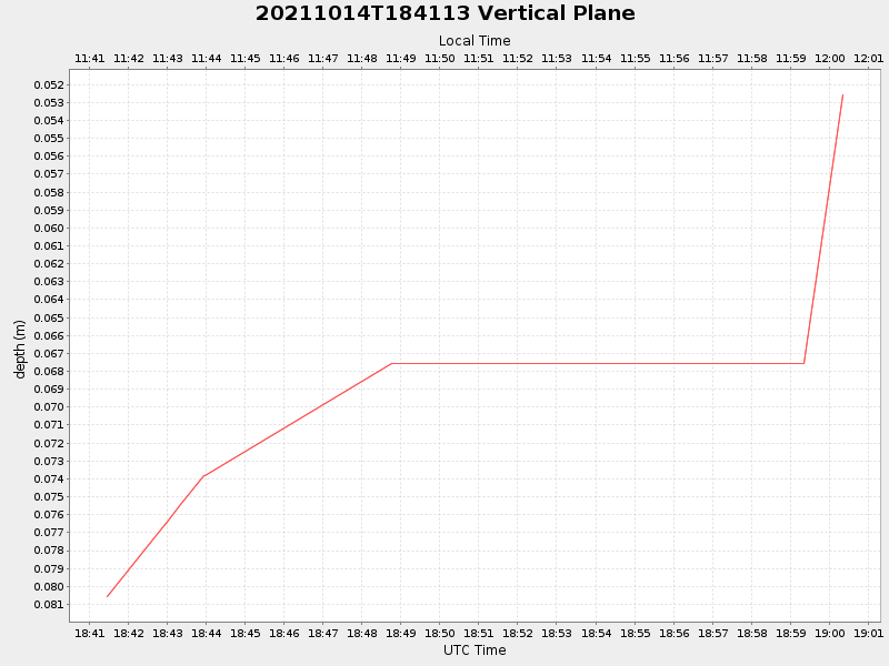
| Start time | End time | Last Latitude & Longitude |
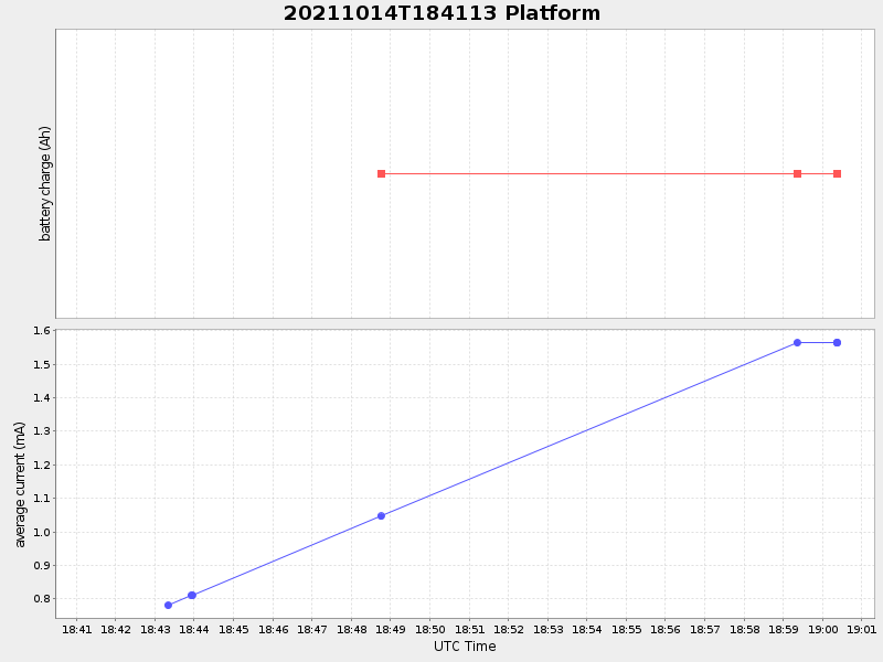
Current (1hr avg) |
|---|---|---|---|
| 2021/10/14 18:41:26 GMT 2021/10/14 11:41:26 local |
2021/10/14 19:00:21 GMT 2021/10/14 12:00:21 local |
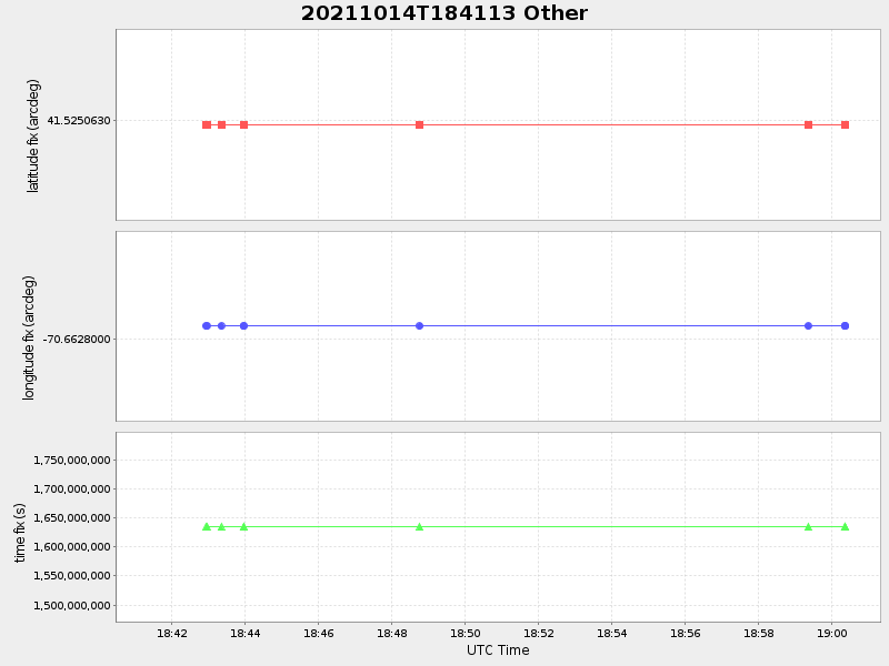
41.525062999738594 -70.66279999928864 |
-0.0 Amp |
| Downloads: | ||||
| shore.nc shore.mat |
shore.kml shore.kmz |
shore.asc shore.dir |
shore.csv shore.log |
argos_24hr.kml argos_week.kml, argos_month.kml |
| Elapsed time since start: 32296:15 | Elapsed time since last valid data: 32295:56 |