Parent Directory
Parent Directory
Parent Directory
| Start time | End time | Last Latitude & Longitude |
Current (1hr avg) |
|---|---|---|---|
| 2021/10/15 16:29:31 GMT 2021/10/15 09:29:31 local |
2021/10/17 18:40:44 GMT 2021/10/17 11:40:44 local |
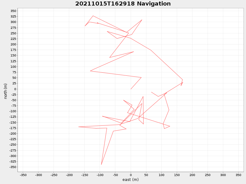
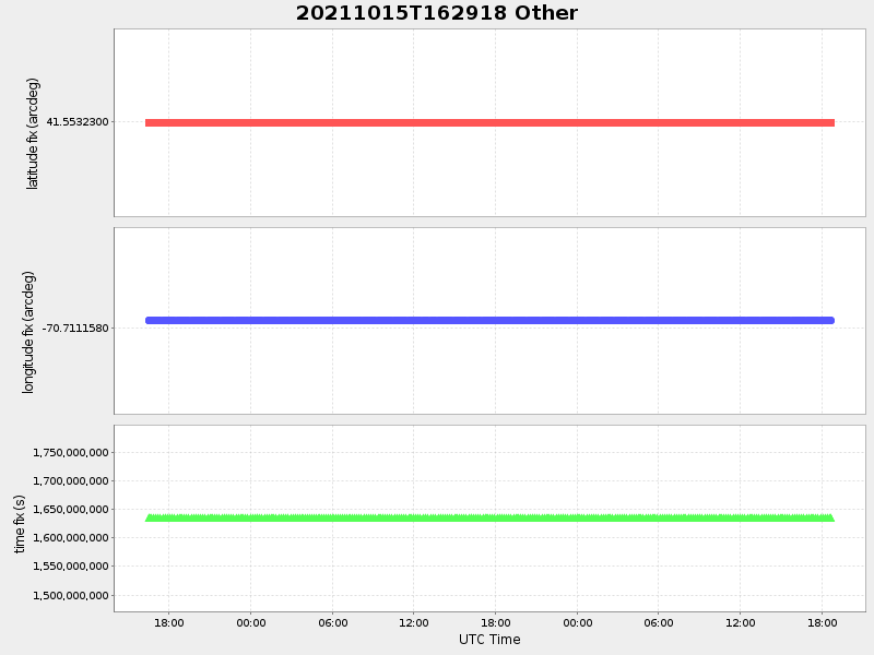
41.55309834536712 -70.71035133773076 |
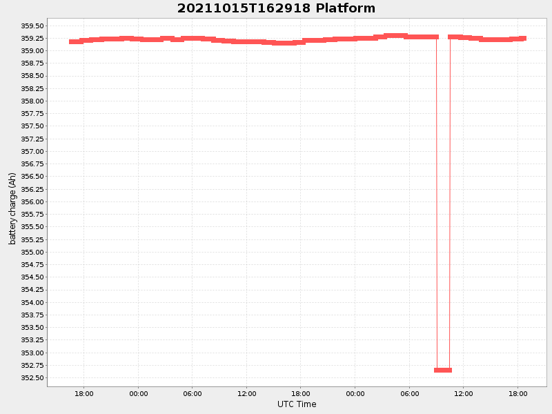
-0.015689495487616213 Amp |
| Downloads: | ||||
| shore.nc shore.mat |
shore.kml shore.kmz |
shore.asc shore.dir |
shore.csv shore.log |
argos_24hr.kml argos_week.kml, argos_month.kml |
| Elapsed time since start: 32251:51 | Elapsed time since last valid data: 32201:40 |