Parent Directory
Parent Directory
Parent Directory
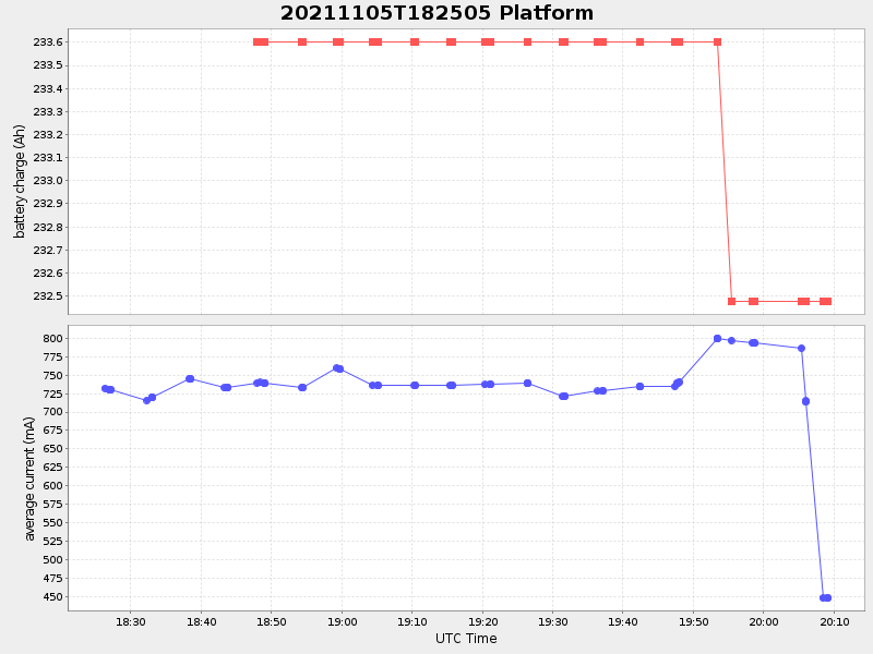
| Start time | End time | Last Latitude & Longitude |
Current (1hr avg) |
|---|---|---|---|
| 2021/11/05 18:26:19 GMT 2021/11/05 11:26:19 local |
2021/11/05 20:09:09 GMT 2021/11/05 13:09:09 local |
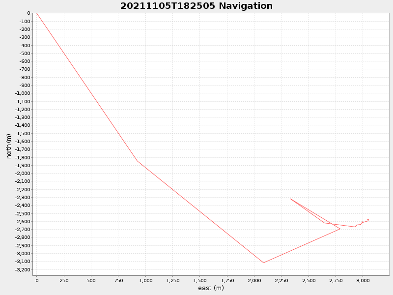
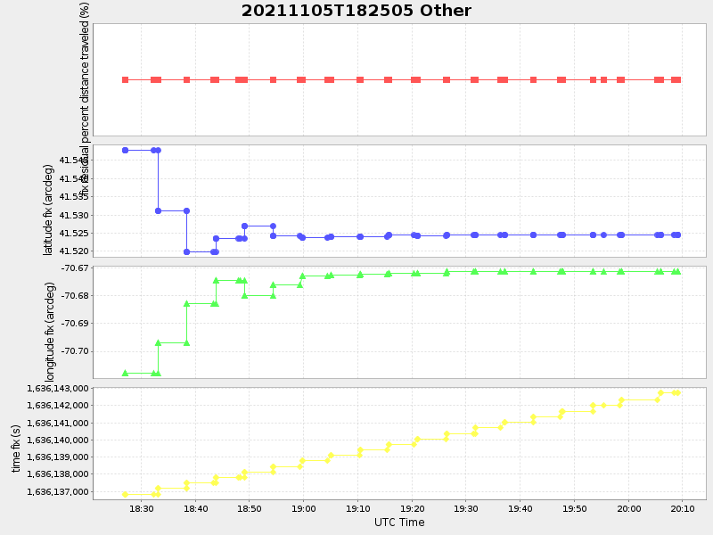
41.52462616653586 -70.67128083307165 |
1.0533164679448275 Amp |
| Downloads: | ||||
| shore.nc shore.mat |
shore.kml shore.kmz |
shore.asc shore.dir |
shore.csv shore.log |
argos_24hr.kml argos_week.kml, argos_month.kml |
| Elapsed time since start: ... | Elapsed time since last valid data: ... |