Polaris 20211110T190526 Parent Directory

Open page with static plots
Start timeEnd timeLast Latitude
& Longitude
Current
(1hr avg)
2021/11/10 19:05:38 GMT
2021/11/10 11:05:38 local
2021/11/10 20:29:00 GMT
2021/11/10 12:29:00 local
41.524348026842105
-70.67188326709562
1.4415260779238621 Amp
Downloads:
shore.nc
shore.mat
shore.kml
shore.kmz
shore.asc
shore.dir
shore.csv
shore.log
argos_24hr.kml
argos_week.kml, argos_month.kml
Elapsed time since start: 31729:30 Elapsed time since last valid data: 31728:06
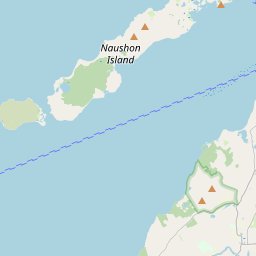
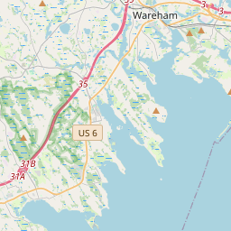
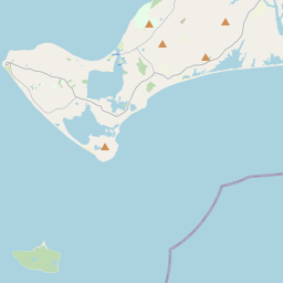
MarkerMarkerMarker
Leaflet © OpenStreetMap contributors
Options for all plots below with a time axis:


Created with Highstock 6.1.3time (UTC)Depth (m)Vertical Plane19:1019:2019:3019:4019:5020:0020:1020:20-5-4-3-2-101ZoomAll1h3h6h12h1d3d1wFromNov 10, 2021ToNov 10, 2021Highcharts.com
Created with Highstock 6.1.3time (UTC)average_current (mA)Platform19:1019:2019:3019:4019:5020:0020:1020:206007008009001000110012001300140015001600ZoomAll1h3h6h12h1d3d1wFromNov 10, 2021ToNov 10, 2021Highcharts.com
Created with Highstock 6.1.3time (UTC)time_fix (s)latitude_fix (arcdeg)longitude_fix (arcdeg)Other19:1019:2019:3019:4019:5020:0020:1020:201 636 570k1 636 572k1 636 574k1 636 576k1 636 578k41.524341.52432541.5243541.52437541.524441.524425-70.67193-70.67192-70.67191-70.6719-70.67189-70.67188ZoomAll1h3h6h12h1d3d1wFromNov 10, 2021ToNov 10, 2021Highcharts.com
Created with Highstock 6.1.3longitude (arcdeg)latitude (arcdeg)Navigation-70.671925-70.67192-70.671915-70.67191-70.671905-70.6719-70.671895-70.67189-70.67188541.524341.5243141.5243241.5243341.5243441.5243541.5243641.5243741.5243841.5243941.524441.5244141.52429Highcharts.com
Created with Highstock 6.1.3time (UTC)battery_charge (Ah)battery_charge20:00204204.25204.5204.75205205.25205.5205.75ZoomAll1h3h6h12h1d3d1wFromNov 10, 2021ToNov 10, 2021Highcharts.com