Parent Directory
Parent Directory
Parent Directory
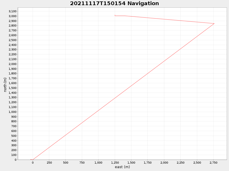
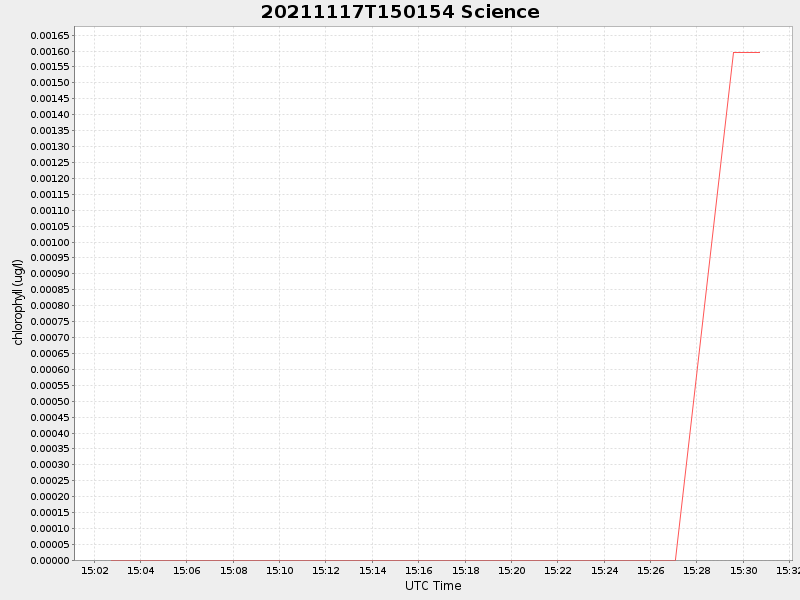
| Start time | End time | Last Latitude & Longitude |
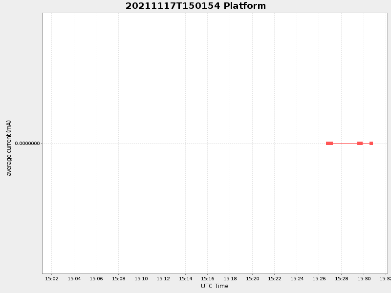
Current (1hr avg) |
|---|---|---|---|
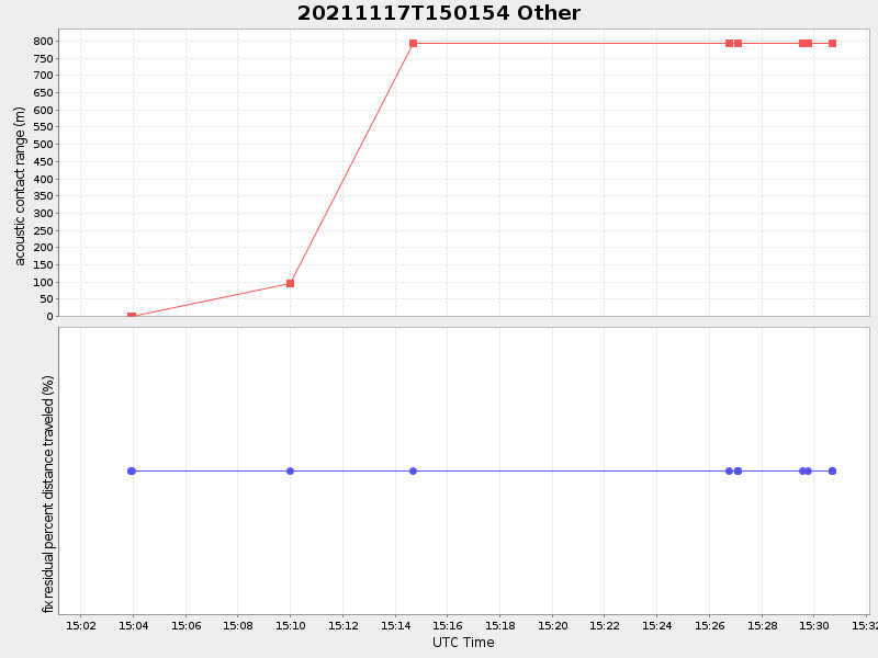
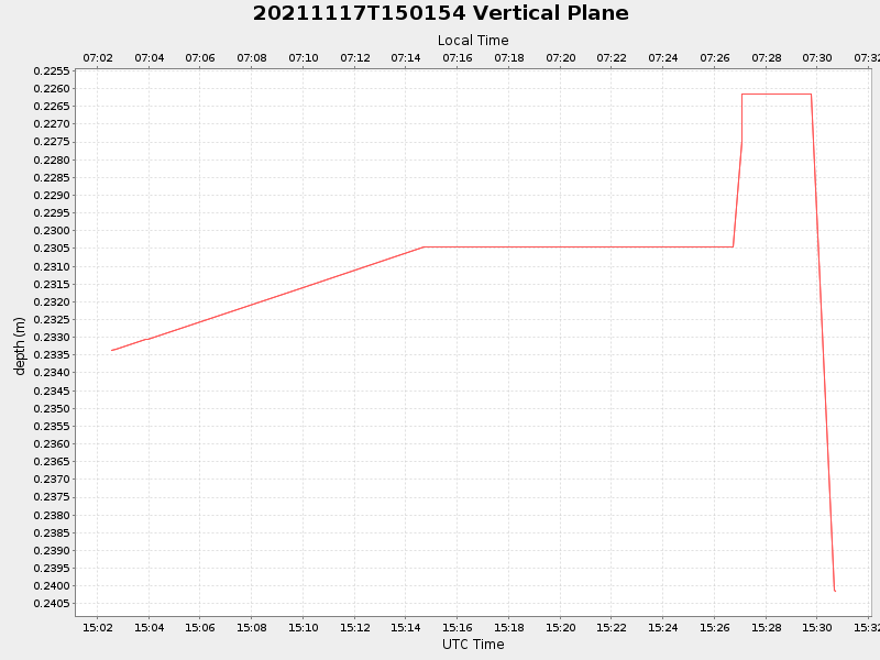
| 2021/11/17 15:02:34 GMT 2021/11/17 07:02:34 local |
2021/11/17 15:30:41 GMT 2021/11/17 07:30:41 local |
41.55391740902921 -70.72675736540573 |
NaN Amp |
| Downloads: | ||||
| shore.nc shore.mat |
shore.kml shore.kmz |
shore.asc shore.dir |
shore.csv shore.log |
argos_24hr.kml argos_week.kml, argos_month.kml |
| Elapsed time since start: ... | Elapsed time since last valid data: ... |