Parent Directory
Parent Directory
Parent Directory
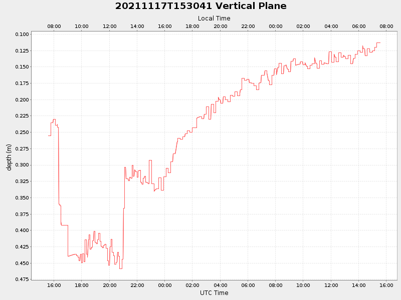
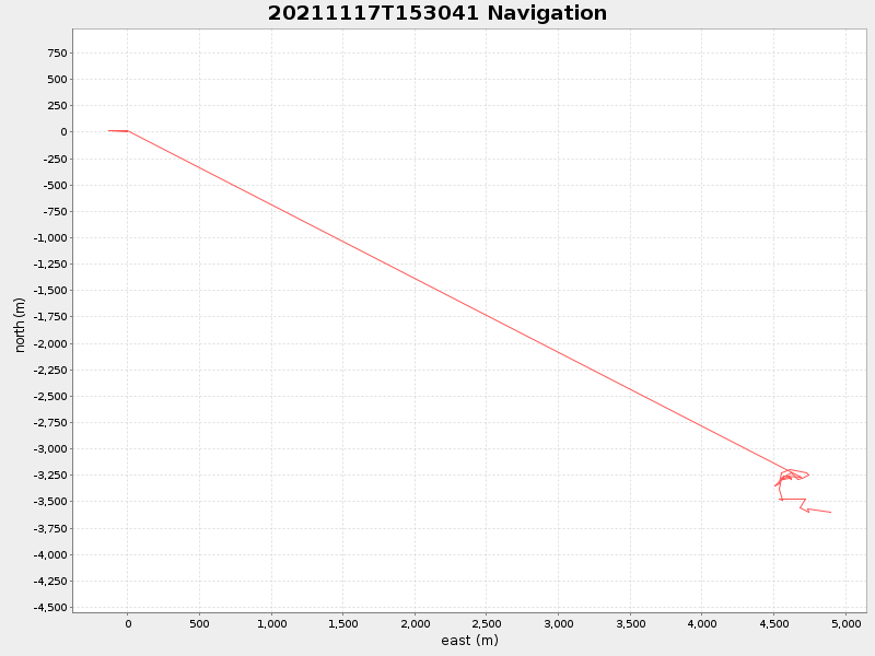
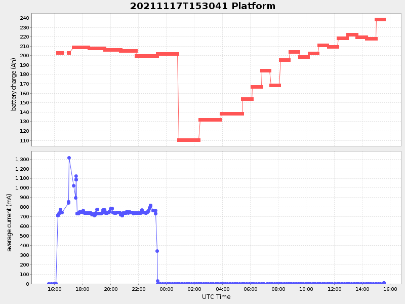
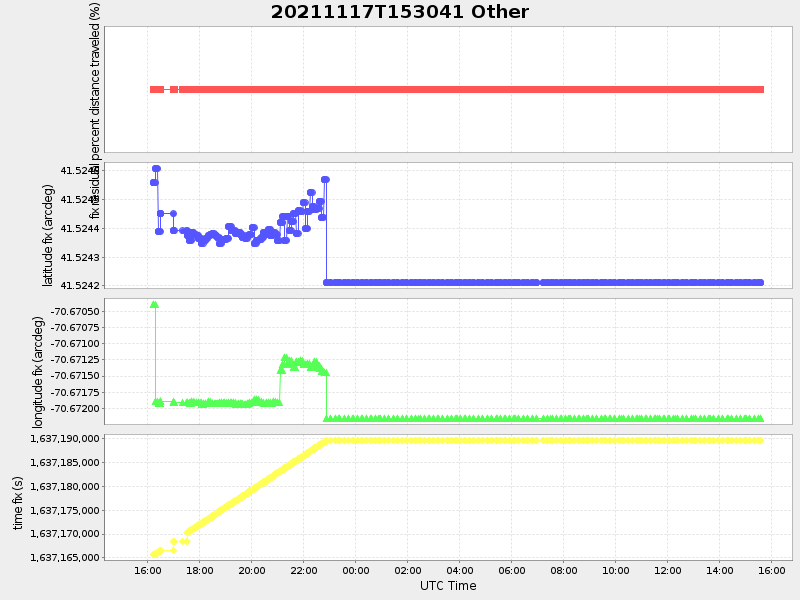
| Start time | End time | Last Latitude & Longitude |
Current (1hr avg) |
|---|---|---|---|
| 2021/11/17 15:34:45 GMT 2021/11/17 07:34:45 local |
2021/11/18 15:34:17 GMT 2021/11/18 07:34:17 local |
41.52156726773347 -70.66798117802176 |
-18.078657074289225 Amp |
| Downloads: | ||||
| shore.nc shore.mat |
shore.kml shore.kmz |
shore.asc shore.dir |
shore.csv shore.log |
argos_24hr.kml argos_week.kml, argos_month.kml |
| Elapsed time since start: ... | Elapsed time since last valid data: ... |