Parent Directory
Parent Directory
Parent Directory
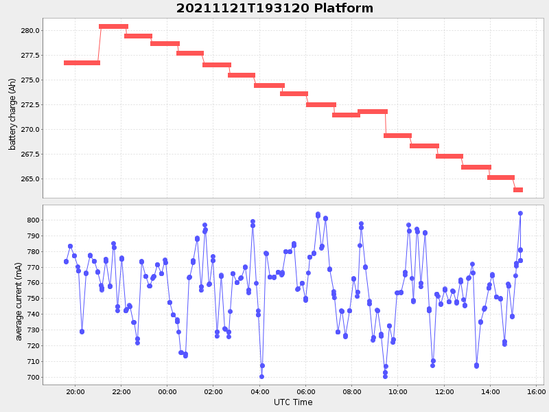
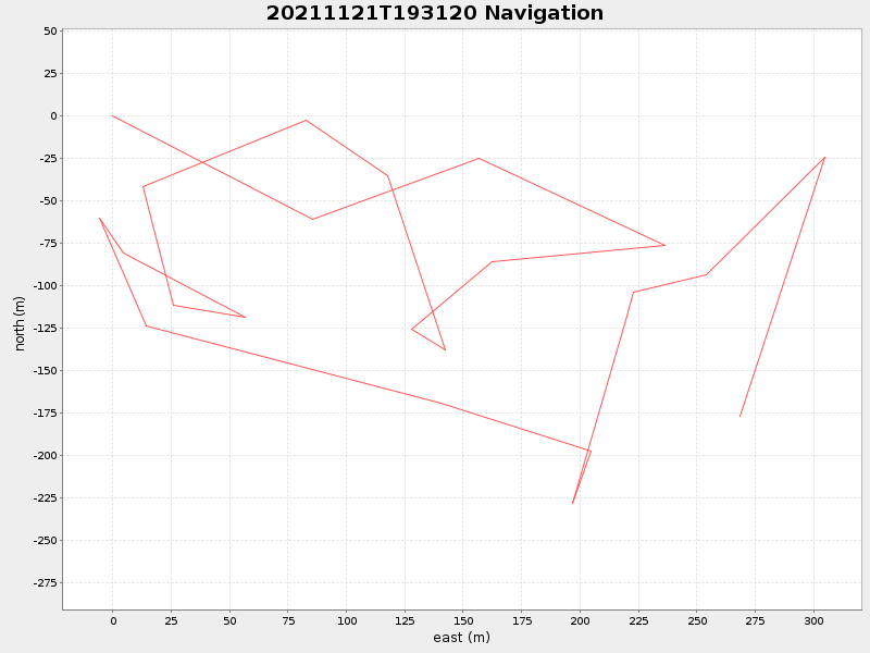
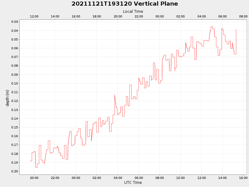
| Start time | End time | Last Latitude & Longitude |
Current (1hr avg) |
|---|---|---|---|
| 2021/11/21 19:36:36 GMT 2021/11/21 11:36:36 local |
2021/11/22 15:19:16 GMT 2021/11/22 07:19:16 local |
41.52316727498149 -70.67417506820277 |
1.2133086390489152 Amp |
| Downloads: | ||||
| shore.nc shore.mat |
shore.kml shore.kmz |
shore.asc shore.dir |
shore.csv shore.log |
argos_24hr.kml argos_week.kml, argos_month.kml |
| Elapsed time since start: ... | Elapsed time since last valid data: ... |