Parent Directory
Parent Directory
Parent Directory
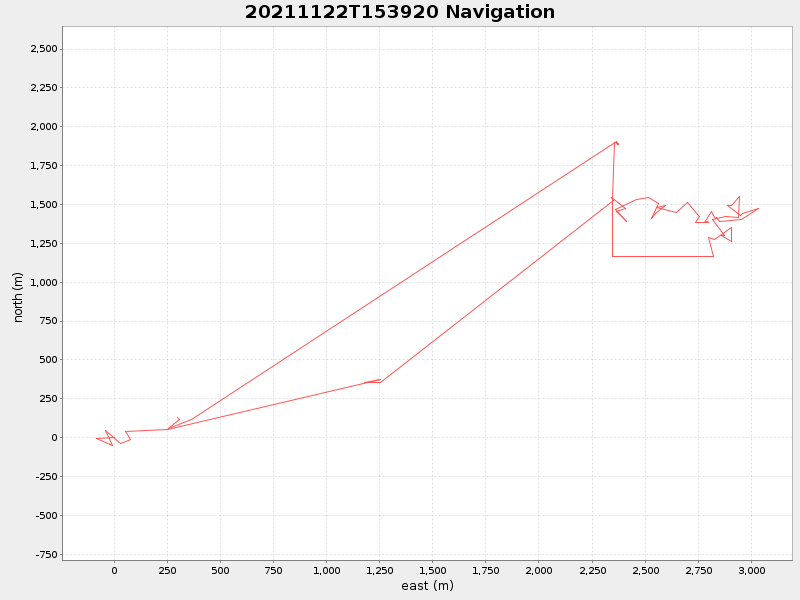
| Start time | End time | Last Latitude & Longitude |
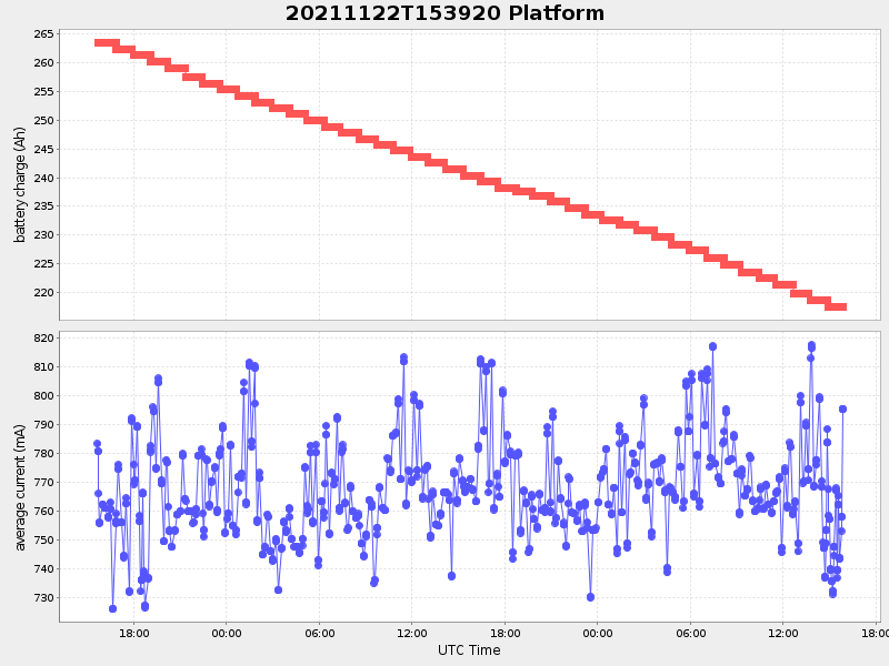
Current (1hr avg) |
|---|---|---|---|
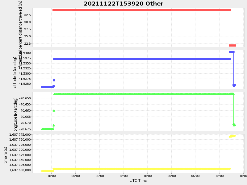
| 2021/11/22 15:39:34 GMT 2021/11/22 07:39:34 local |
2021/11/24 15:51:47 GMT 2021/11/24 07:51:47 local |
41.52450166649467 -70.67147316642955 |
1.2057489130209216 Amp |
| Downloads: | ||||
| shore.nc shore.mat |
shore.kml shore.kmz |
shore.asc shore.dir |
shore.csv shore.log |
argos_24hr.kml argos_week.kml, argos_month.kml |
| Elapsed time since start: ... | Elapsed time since last valid data: ... |