Parent Directory
Parent Directory
Parent Directory
| Start time | End time | Last Latitude & Longitude |
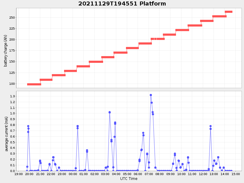
Current (1hr avg) |
|---|---|---|---|
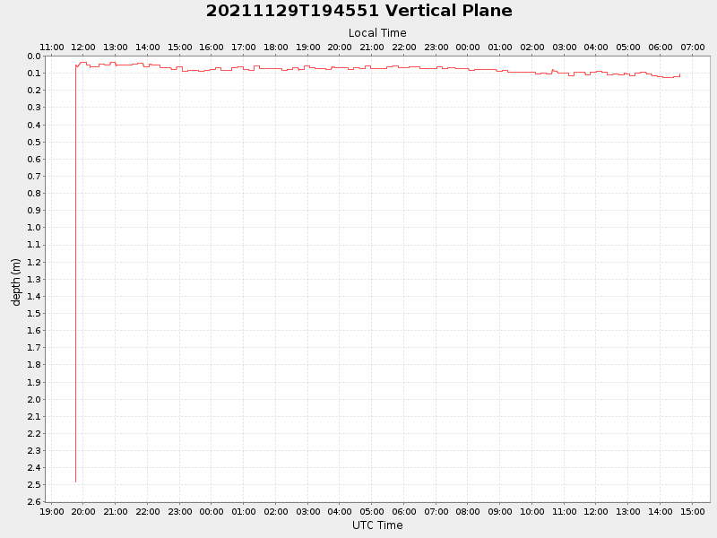
| 2021/11/29 19:46:03 GMT 2021/11/29 11:46:03 local |
2021/11/30 14:36:50 GMT 2021/11/30 06:36:50 local |
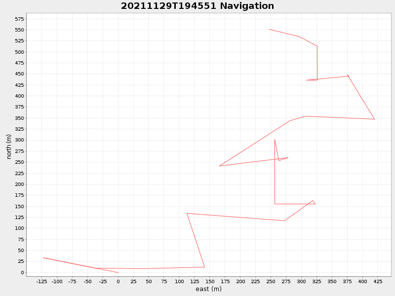
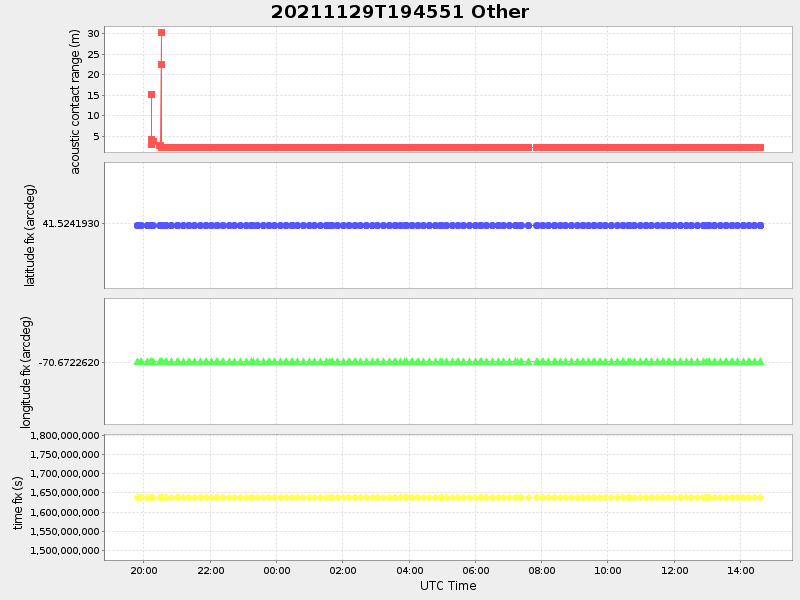
41.55727271986554 -70.70562629340448 |
-9.870185953491806 Amp |
| Downloads: | ||||
| shore.nc shore.mat |
shore.kml shore.kmz |
shore.asc shore.dir |
shore.csv shore.log |
argos_24hr.kml argos_week.kml, argos_month.kml |
| Elapsed time since start: ... | Elapsed time since last valid data: ... |