Parent Directory
Parent Directory
Parent Directory
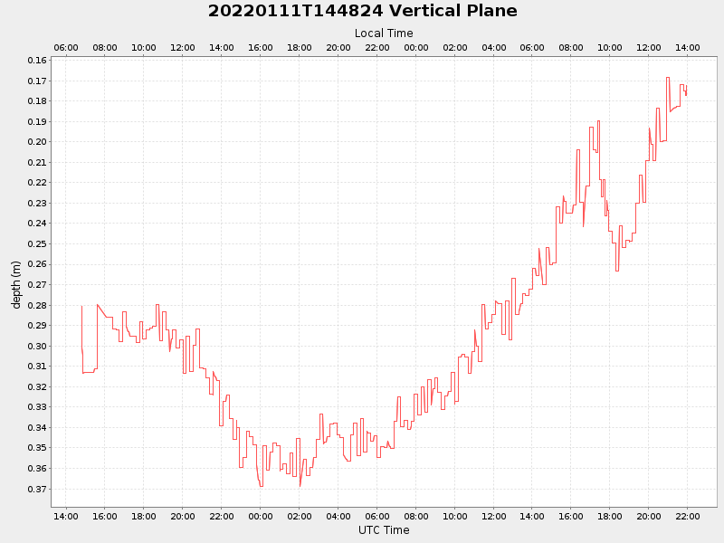
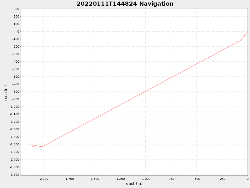
| Start time | End time | Last Latitude & Longitude |
Current (1hr avg) |
|---|---|---|---|
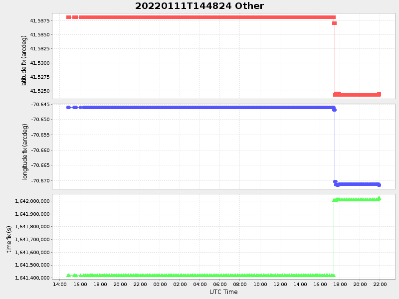
| 2022/01/11 14:48:35 GMT 2022/01/11 06:48:35 local |
2022/01/12 21:57:03 GMT 2022/01/12 13:57:03 local |
41.52444833315597 -70.67144116659308 |
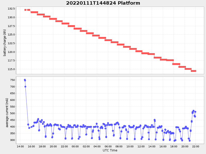
0.579140886441008 Amp |
| Downloads: | ||||
| shore.nc shore.mat |
shore.kml shore.kmz |
shore.asc shore.dir |
shore.csv shore.log |
argos_24hr.kml argos_week.kml, argos_month.kml |
| Elapsed time since start: 30807:19 | Elapsed time since last valid data: 30776:10 |