Parent Directory
Parent Directory
Parent Directory
| Start time | End time | Last Latitude & Longitude |
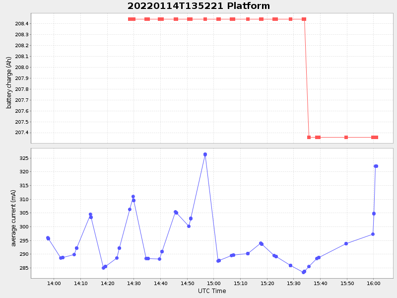
Current (1hr avg) |
|---|---|---|---|
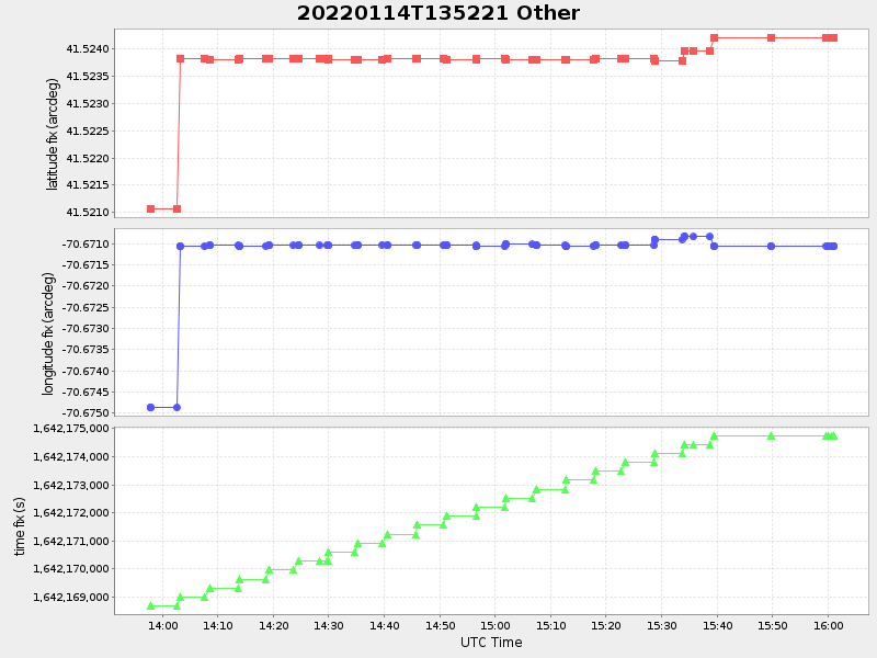
| 2022/01/14 13:57:37 GMT 2022/01/14 05:57:37 local |
2022/01/14 16:01:05 GMT 2022/01/14 08:01:05 local |
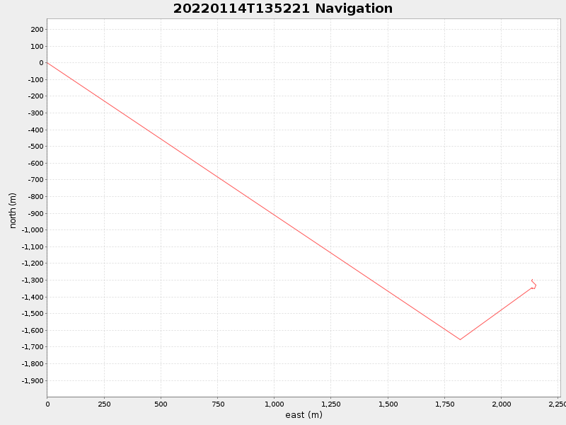
41.52429243483855 -70.67102473766336 |
1.0103332182054605 Amp |
| Downloads: | ||||
| shore.nc shore.mat |
shore.kml shore.kmz |
shore.asc shore.dir |
shore.csv shore.log |
argos_24hr.kml argos_week.kml, argos_month.kml |
| Elapsed time since start: ... | Elapsed time since last valid data: ... |