Parent Directory
Parent Directory
Parent Directory
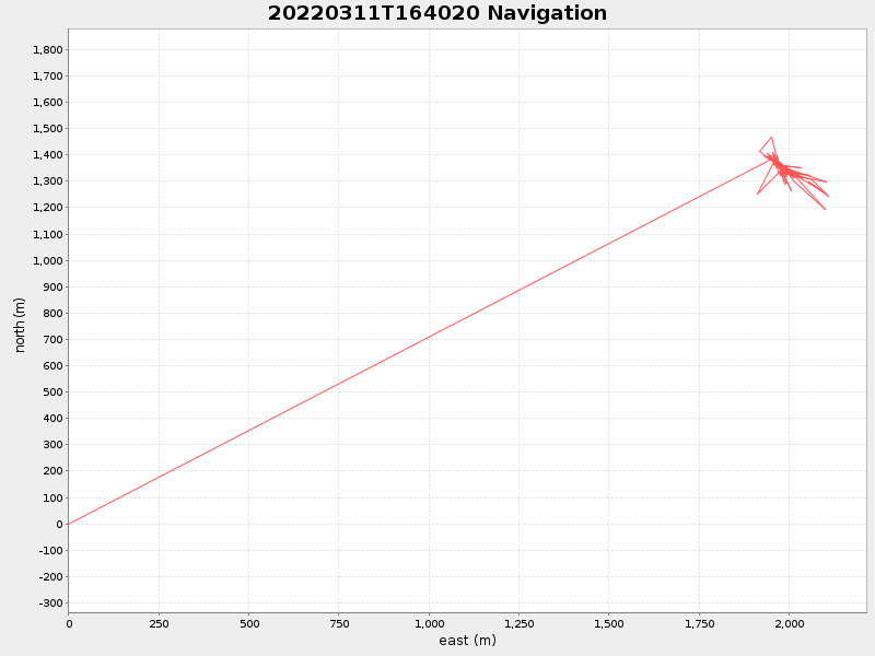
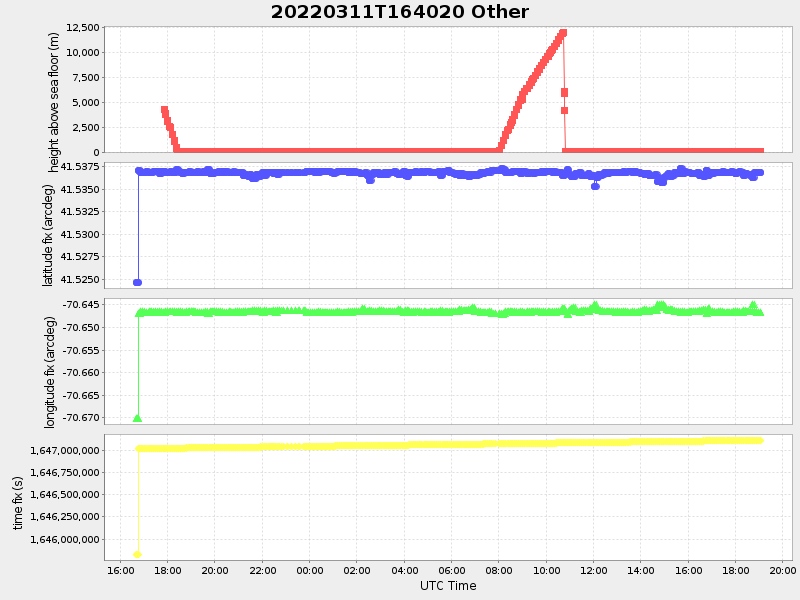
| Start time | End time | Last Latitude & Longitude |
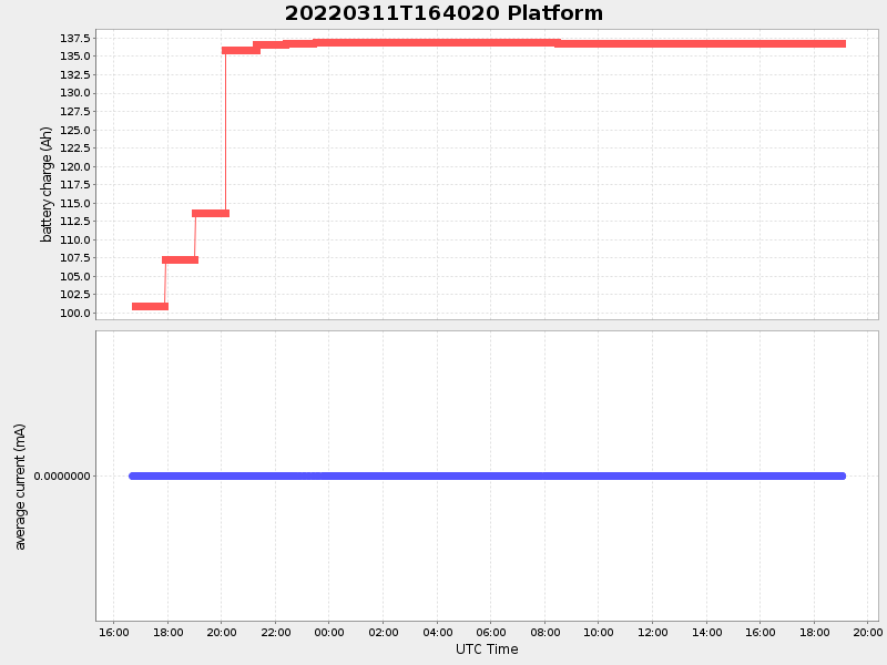
Current (1hr avg) |
|---|---|---|---|
| 2022/03/11 16:40:30 GMT 2022/03/11 08:40:30 local |
2022/03/12 19:03:39 GMT 2022/03/12 11:03:39 local |
41.536860666597306 -70.64657516589351 |
0.004192216845071222 Amp |
| Downloads: | ||||
| shore.nc shore.mat |
shore.kml shore.kmz |
shore.asc shore.dir |
shore.csv shore.log |
argos_24hr.kml argos_week.kml, argos_month.kml |
| Elapsed time since start: ... | Elapsed time since last valid data: ... |