Parent Directory
Parent Directory
Parent Directory
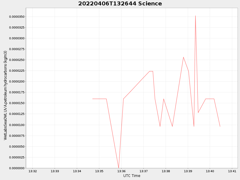
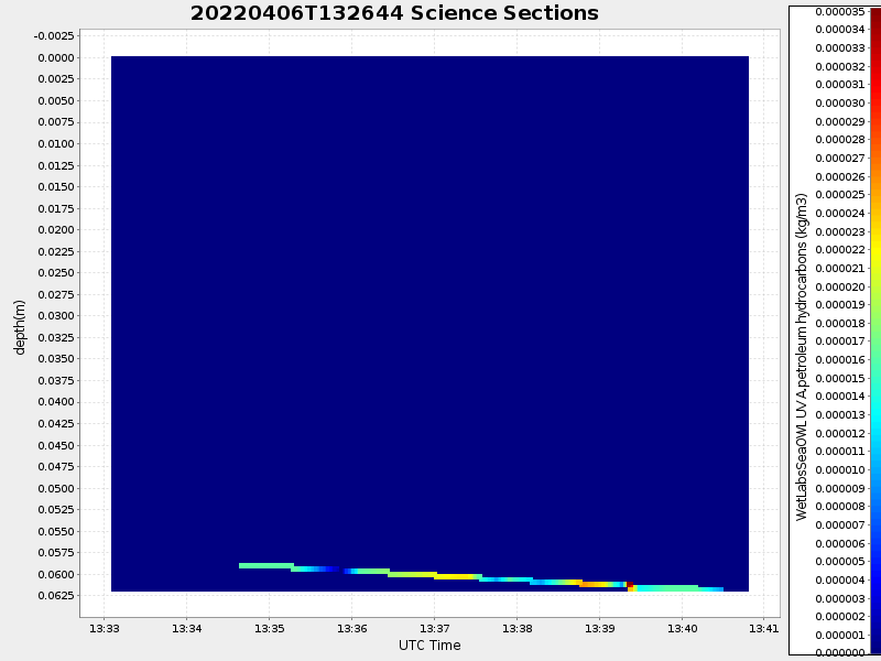
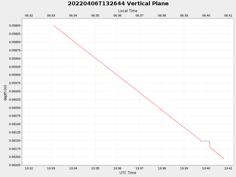
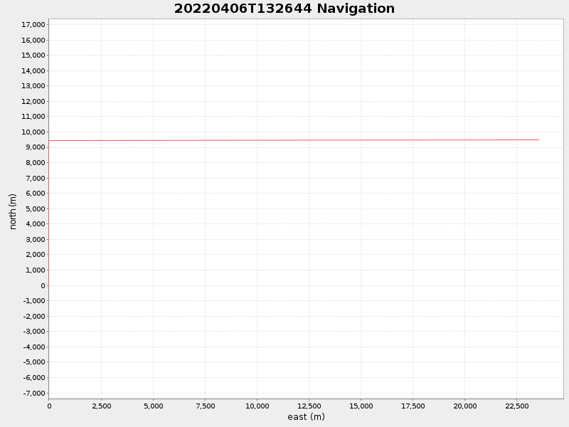
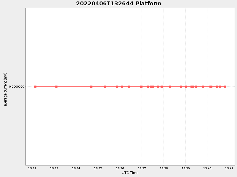
| Start time | End time | Last Latitude & Longitude |
Current (1hr avg) |
|---|---|---|---|
| 2022/04/06 13:32:08 GMT 2022/04/06 06:32:08 local |
2022/04/06 13:40:48 GMT 2022/04/06 06:40:48 local |
41.53499984734186 -70.73000335611287 |
NaN Amp |
| Downloads: | ||||
| shore.nc shore.mat |
shore.kml shore.kmz |
shore.asc shore.dir |
shore.csv shore.log |
argos_24hr.kml argos_week.kml, argos_month.kml |
| Elapsed time since start: 28129:23 | Elapsed time since last valid data: 28129:15 |