Parent Directory
Parent Directory
Parent Directory
| Start time | End time | Last Latitude & Longitude |
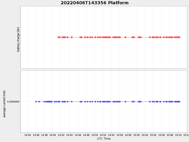
Current (1hr avg) |
|---|---|---|---|
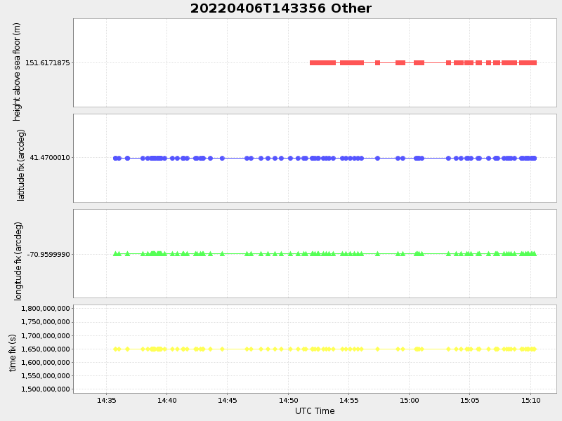
| 2022/04/06 14:34:07 GMT 2022/04/06 07:34:07 local |
2022/04/06 15:10:19 GMT 2022/04/06 08:10:19 local |
41.47068847698905 -70.9600455806084 |
-0.0 Amp |
| Downloads: | ||||
| shore.nc shore.mat |
shore.kml shore.kmz |
shore.asc shore.dir |
shore.csv shore.log |
argos_24hr.kml argos_week.kml, argos_month.kml |
| Elapsed time since start: ... | Elapsed time since last valid data: ... |