Parent Directory
Parent Directory
Parent Directory
| Start time | End time | Last Latitude & Longitude |
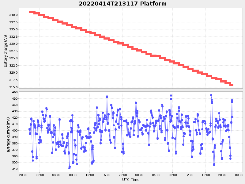
Current (1hr avg) |
|---|---|---|---|
| 2022/04/14 21:31:28 GMT 2022/04/14 14:31:28 local |
2022/04/16 22:25:51 GMT 2022/04/16 15:25:51 local |
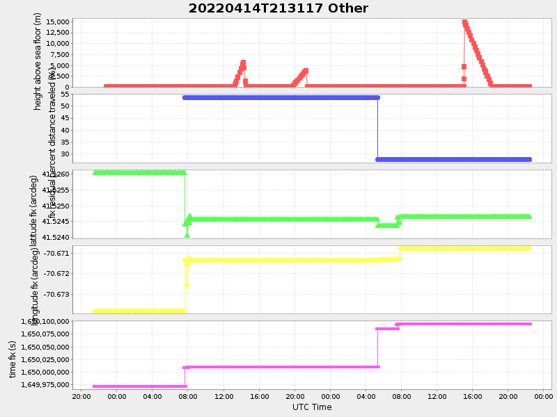
41.528063084459056 -70.6668495002199 |
0.5599909295333795 Amp |
| Downloads: | ||||
| shore.nc shore.mat |
shore.kml shore.kmz |
shore.asc shore.dir |
shore.csv shore.log |
argos_24hr.kml argos_week.kml, argos_month.kml |
| Elapsed time since start: ... | Elapsed time since last valid data: ... |