Parent Directory
Parent Directory
Parent Directory
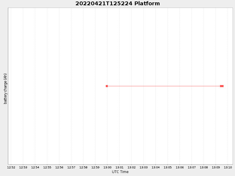
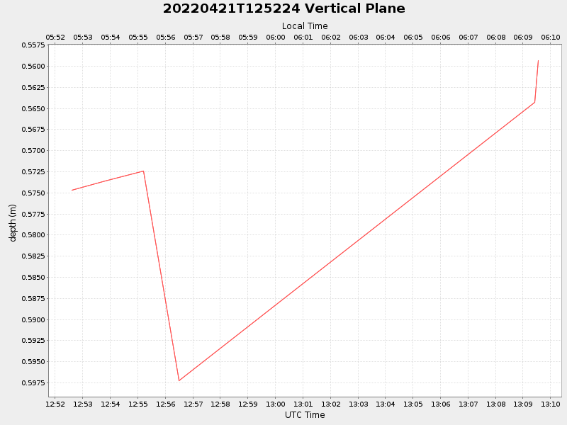
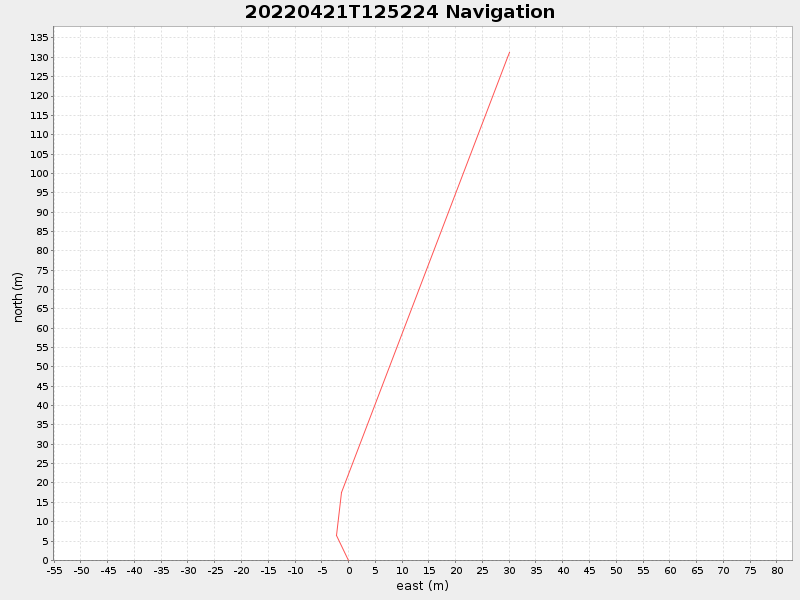
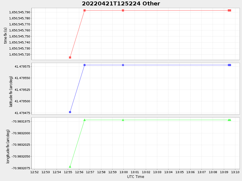
| Start time | End time | Last Latitude & Longitude |
Current (1hr avg) |
|---|---|---|---|
| 2022/04/21 12:52:36 GMT 2022/04/21 05:52:36 local |
2022/04/21 13:09:32 GMT 2022/04/21 06:09:32 local |
41.48060066437441 -70.98282043535048 |
-0.0 Amp |
| Downloads: | ||||
| shore.nc shore.mat |
shore.kml shore.kmz |
shore.asc shore.dir |
shore.csv shore.log |
argos_24hr.kml argos_week.kml, argos_month.kml |
| Elapsed time since start: ... | Elapsed time since last valid data: ... |