Parent Directory
Parent Directory
Parent Directory
| Start time | End time | Last Latitude & Longitude |
Current (1hr avg) |
|---|---|---|---|
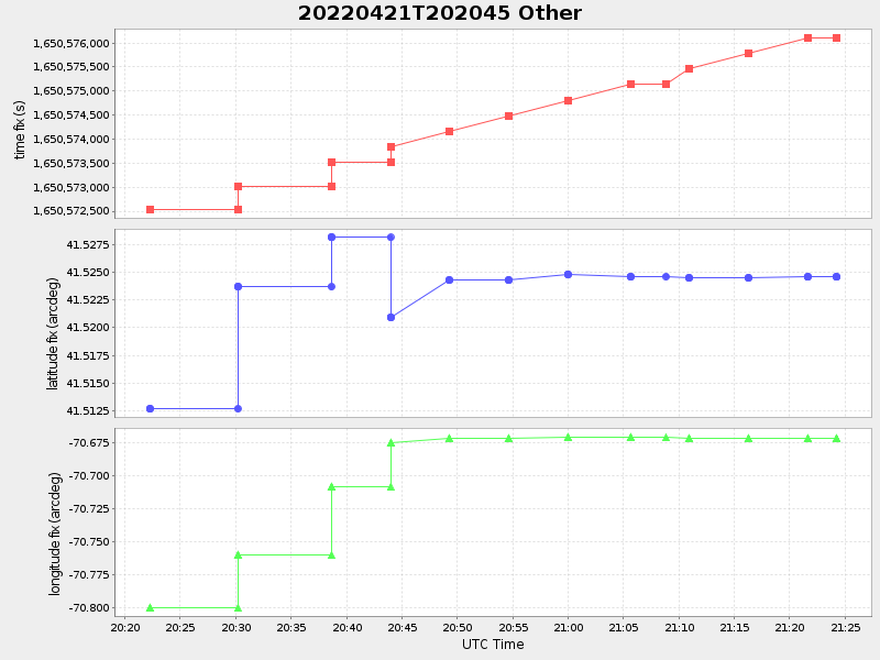
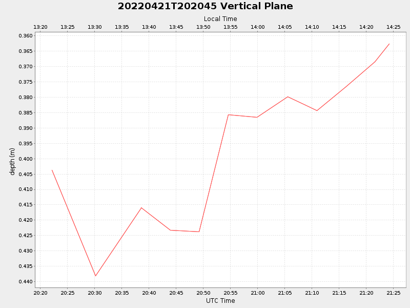
| 2022/04/21 20:22:14 GMT 2022/04/21 13:22:14 local |
2022/04/21 21:24:15 GMT 2022/04/21 14:24:15 local |
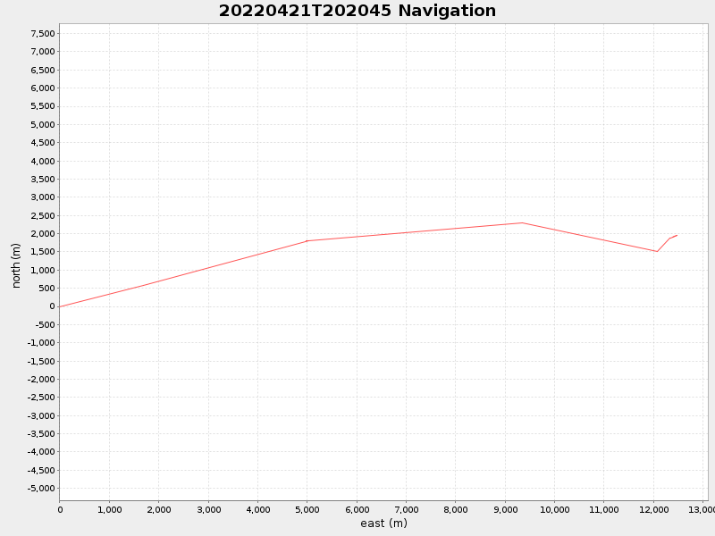
41.524574289364814 -70.67138030854036 |
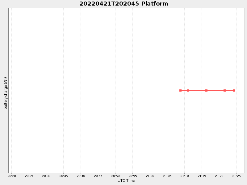
-0.0 Amp |
| Downloads: | ||||
| shore.nc shore.mat |
shore.kml shore.kmz |
shore.asc shore.dir |
shore.csv shore.log |
argos_24hr.kml argos_week.kml, argos_month.kml |
| Elapsed time since start: 27752:21 | Elapsed time since last valid data: 27751:19 |