Parent Directory
Parent Directory
Parent Directory
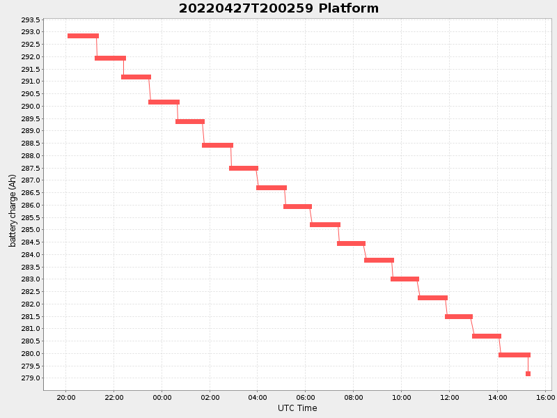
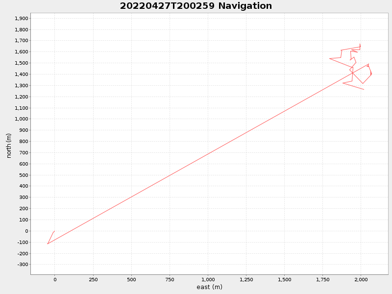
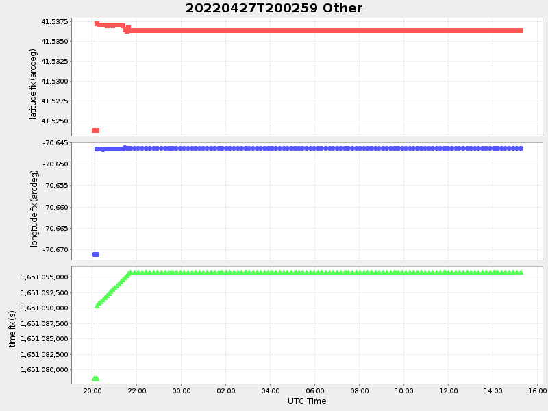
| Start time | End time | Last Latitude & Longitude |
Current (1hr avg) |
|---|---|---|---|
| 2022/04/27 20:03:14 GMT 2022/04/27 13:03:14 local |
2022/04/28 15:16:56 GMT 2022/04/28 08:16:56 local |
41.53515962891197 -70.64685626419643 |
0.7244142760791453 Amp |
| Downloads: | ||||
| shore.nc shore.mat |
shore.kml shore.kmz |
shore.asc shore.dir |
shore.csv shore.log |
argos_24hr.kml argos_week.kml, argos_month.kml |
| Elapsed time since start: ... | Elapsed time since last valid data: ... |