Parent Directory
Parent Directory
Parent Directory
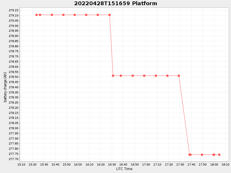
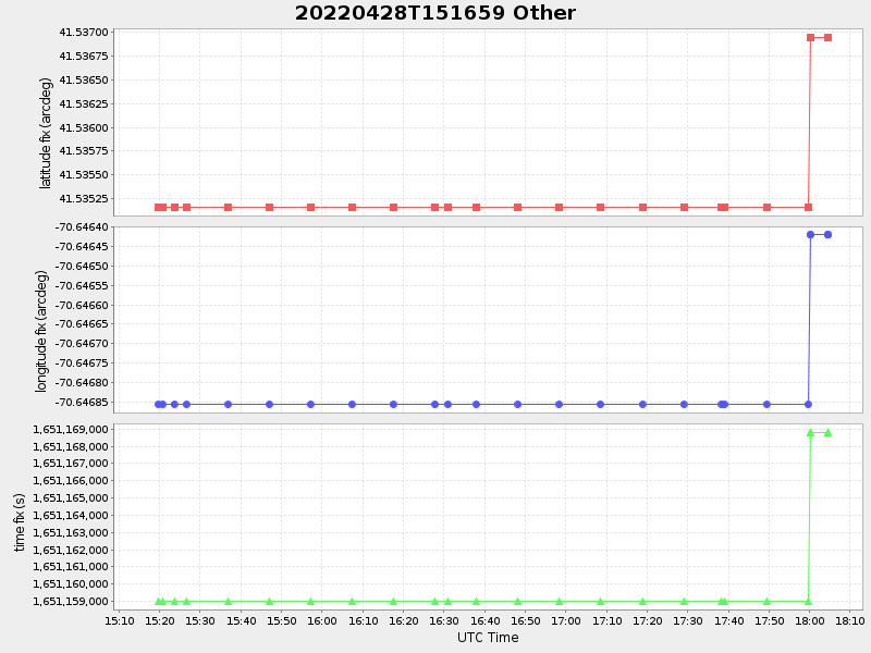
| Start time | End time | Last Latitude & Longitude |
Current (1hr avg) |
|---|---|---|---|
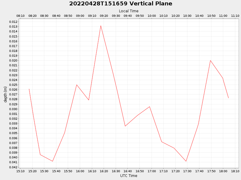
| 2022/04/28 15:17:11 GMT 2022/04/28 08:17:11 local |
2022/04/28 18:04:34 GMT 2022/04/28 11:04:34 local |
41.536944832920696 -70.64641983328451 |
0.6971595425731956 Amp |
| Downloads: | ||||
| shore.nc shore.mat |
shore.kml shore.kmz |
shore.asc shore.dir |
shore.csv shore.log |
argos_24hr.kml argos_week.kml, argos_month.kml |
| Elapsed time since start: ... | Elapsed time since last valid data: ... |