Parent Directory
Parent Directory
Parent Directory
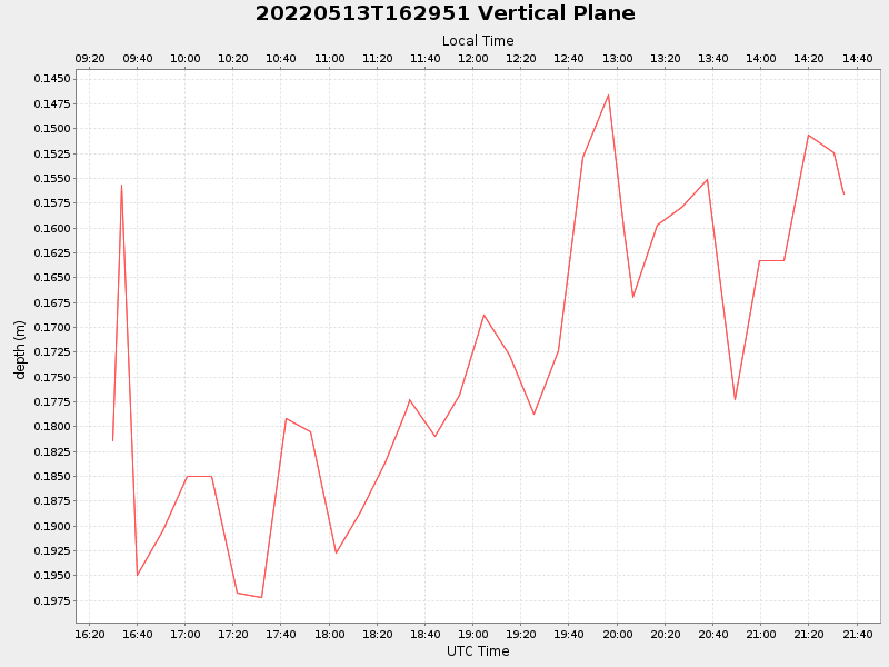
| Start time | End time | Last Latitude & Longitude |
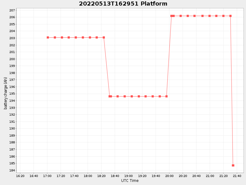
Current (1hr avg) |
|---|---|---|---|
| 2022/05/13 16:30:04 GMT 2022/05/13 09:30:04 local |
2022/05/13 21:34:27 GMT 2022/05/13 14:34:27 local |
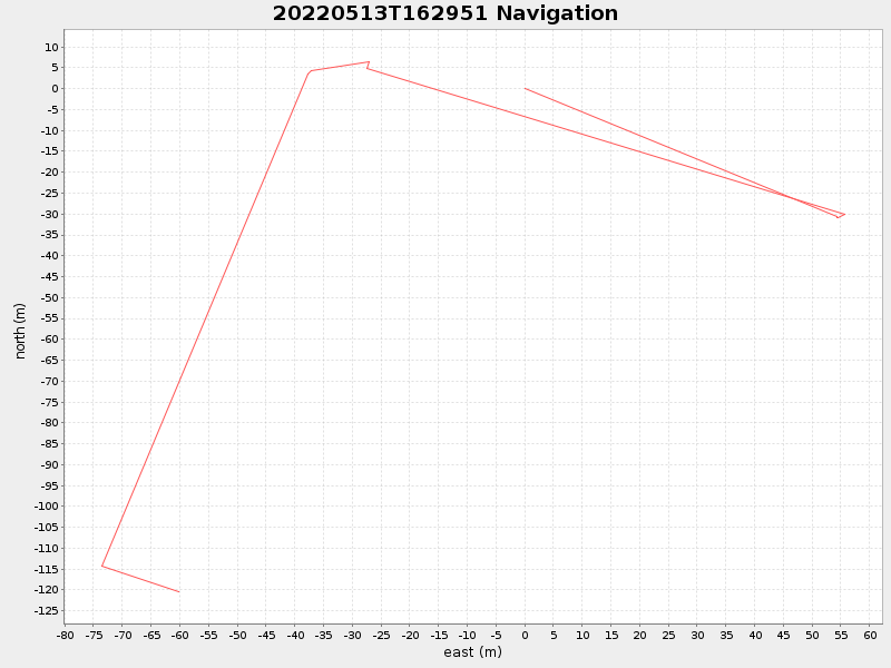
41.53934694341722 -70.64852399428752 |
19.16626427718194 Amp |
| Downloads: | ||||
| shore.nc shore.mat |
shore.kml shore.kmz |
shore.asc shore.dir |
shore.csv shore.log |
argos_24hr.kml argos_week.kml, argos_month.kml |
| Elapsed time since start: ... | Elapsed time since last valid data: ... |