Polaris 20220610T163213 Parent Directory

Open page with static plots
Start timeEnd timeLast Latitude
& Longitude
Current
(1hr avg)
2022/06/10 16:32:36 GMT
2022/06/10 09:32:36 local
2022/06/10 16:46:10 GMT
2022/06/10 09:46:10 local
41.52442575151004
-70.67287514696679
-0.0 Amp
Downloads:
shore.nc
shore.mat
shore.kml
shore.kmz
shore.asc
shore.dir
shore.csv
shore.log
argos_24hr.kml
argos_week.kml, argos_month.kml
Elapsed time since start: 27338:05 Elapsed time since last valid data: 27337:52
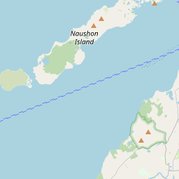
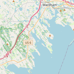
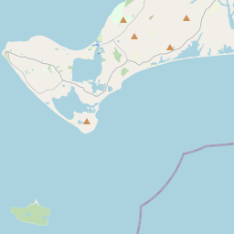
MarkerMarkerMarker
Leaflet © OpenStreetMap contributors
Options for all plots below with a time axis:


Created with Highstock 6.1.3time (UTC)Depth (m)Vertical Plane16:3416:3616:3816:4016:4216:4416:46-5-4-3-2-101ZoomAll1h3h6h12h1d3d1wFromJun 10, 2022ToJun 10, 2022Highcharts.com
Created with Highstock 6.1.3time (UTC)Depth (m)concentration_of_colored_dissolved_organic_matter(ppb)petroleum_hydrocarbons (kg/m3)Science Sections16:3416:3616:3816:4016:4216:4416:46-6-4-202ZoomAll1h3h6h12h1d3d1wFromJun 10, 2022ToJun 10, 2022Highcharts.com
Created with Highstock 6.1.3time (UTC)concentration_of_colored_dissolved_organic_matter (ppb)concentration_of_colored_dissolved_organic_matterZoomAll1h3h6h12h1d3d1wFromToHighcharts.com
Created with Highstock 6.1.3time (UTC)petroleum_hydrocarbons (kg/m3)WetLabsSeaOWL_UV_AZoomAll1h3h6h12h1d3d1wFromToHighcharts.com
Created with Highstock 6.1.3longitude (arcdeg)latitude (arcdeg)Navigation-70.67285-70.6728-70.67275-70.6727-70.67265-70.6726-70.67255-70.672541.5242641.5242841.524341.5243241.5243441.5243641.5243841.524441.5244241.5244441.5242541.52427541.52432541.5243541.52437541.52442541.52445Highcharts.com
Created with Highstock 6.1.3time (UTC)time_fix (s)latitude_fix (arcdeg)longitude_fix (arcdeg)Other16:34:08.8661 654 878 679.79915441.524281-70.672455ZoomAll1h3h6h12h1d3d1wFromJun 10, 2022ToJun 10, 2022Highcharts.com
Created with Highstock 6.1.3time (UTC)battery_charge (Ah)battery_charge16:39:27.965366.142212ZoomAll1h3h6h12h1d3d1wFromJun 10, 2022ToJun 10, 2022Highcharts.com