Parent Directory
Parent Directory
Parent Directory
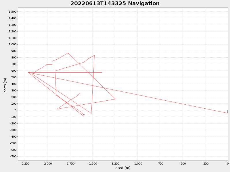
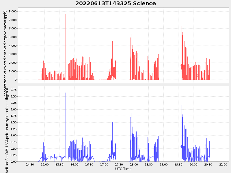
| Start time | End time | Last Latitude & Longitude |
Current (1hr avg) |
|---|---|---|---|
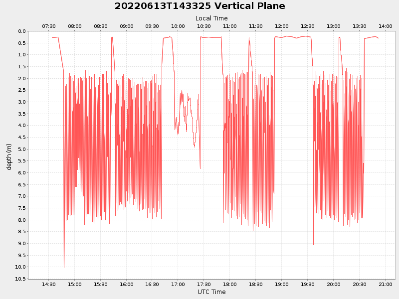
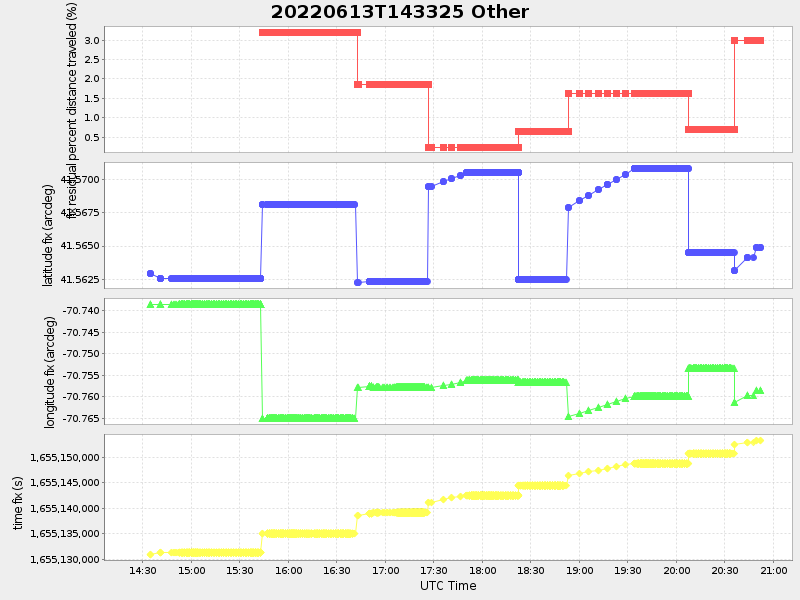
| 2022/06/13 14:25:58 GMT 2022/06/13 07:25:58 local |
2022/06/13 20:52:12 GMT 2022/06/13 13:52:12 local |
41.56530420440765 -70.75818054197538 |
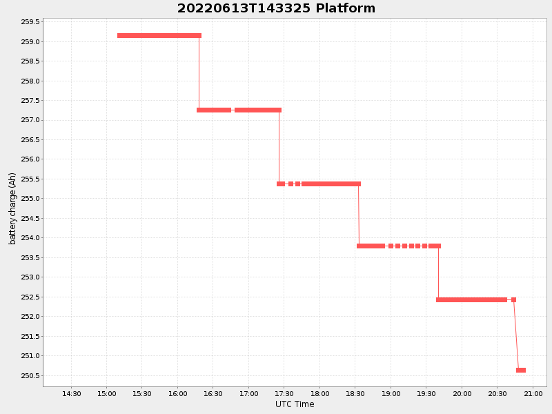
1.7716545564762163 Amp |
| Downloads: | ||||
| shore.nc shore.mat |
shore.kml shore.kmz |
shore.asc shore.dir |
shore.csv shore.log |
argos_24hr.kml argos_week.kml, argos_month.kml |
| Elapsed time since start: ... | Elapsed time since last valid data: ... |