Polaris 20220616T200621 Parent Directory

Open page with static plots
Start timeEnd timeLast Latitude
& Longitude
Current
(1hr avg)
2022/06/16 20:06:34 GMT
2022/06/16 13:06:34 local
2022/06/17 16:15:49 GMT
2022/06/17 09:15:49 local
41.52362061961625
-70.67374430604771
-14.203640364011367 Amp
Downloads:
shore.nc
shore.mat
shore.kml
shore.kmz
shore.asc
shore.dir
shore.csv
shore.log
argos_24hr.kml
argos_week.kml, argos_month.kml
Elapsed time since start: 26838:21 Elapsed time since last valid data: 26818:11
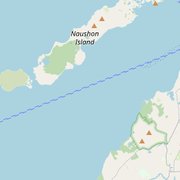
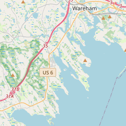
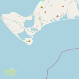
MarkerMarkerMarkerMarkerMarkerMarkerMarkerMarkerMarkerMarkerMarkerMarkerMarkerMarkerMarkerMarkerMarkerMarkerMarkerMarkerMarkerMarkerMarkerMarkerMarkerMarkerMarkerMarkerMarkerMarkerMarkerMarkerMarkerMarkerMarkerMarkerMarkerMarkerMarkerMarkerMarkerMarkerMarkerMarkerMarkerMarkerMarkerMarkerMarkerMarkerMarkerMarkerMarkerMarkerMarkerMarkerMarkerMarker
Leaflet © OpenStreetMap contributors
Options for all plots below with a time axis:


Created with Highstock 6.1.3time (UTC)Depth (m)Vertical Plane21:0017. Jun03:0006:0009:0012:0015:00-5-4-3-2-10123ZoomAll1h3h6h12h1d3d1wFromJun 16, 2022ToJun 17, 2022Highcharts.com
Created with Highstock 6.1.3longitude (arcdeg)latitude (arcdeg)Navigation-70.676-70.675-70.674-70.673-70.672-70.67141.5232541.523541.5237541.52441.5242541.524541.5247541.52541.5252541.525541.52575Highcharts.com
Created with Highstock 6.1.3time (UTC)time_fix (s)latitude_fix (arcdeg)longitude_fix (arcdeg)Other20:1020:2020:3020:4020:5021:0021:101 655 408k1 655 410k1 655 412k1 655 414k1 655 416k41.5242541.524341.5243541.524441.5244541.5245-70.6716-70.6715-70.6714-70.6713-70.6712ZoomAll1h3h6h12h1d3d1wFromJun 16, 2022ToJun 16, 2022Highcharts.com
Created with Highstock 6.1.3time (UTC)battery_charge (Ah)battery_charge21:0017. Jun03:0006:0009:0012:0015:0080100120140160180ZoomAll1h3h6h12h1d3d1wFromJun 16, 2022ToJun 17, 2022Highcharts.com